Weather (model)
Rain likely
80°F
Wind 20 mph, gusts 27 · Rain 77%
Live · Updated · Source: Open-Meteo
The NWS forecast is official; current values and the 7-day outlook come from a weather model and are labeled so. Times in AST.
No active NWS and PTWC alerts for St. John · checked
Rain likely
80°F
Wind 20 mph, gusts 27 · Rain 77%
Live · Updated · Source: Open-Meteo
Very high
9
U.S. EPA UV Index forecast for 2026-11-17
Live · Updated · Source: EPA UV Index
Official
Live · Updated · Source: NOAA / National Weather Service
Official
| Time (AST) | Temp | Rain | Wind | Sky |
|---|---|---|---|---|
| 7:00 PM | 80°F | 48% | E 17 mph | Scattered Rain Showers |
| 8:00 PM | 80°F | 48% | E 18 mph | Scattered Rain Showers |
| 9:00 PM | 79°F | 50% | E 18 mph | Scattered Rain Showers |
| 10:00 PM | 79°F | 50% | E 18 mph | Scattered Rain Showers |
| 11:00 PM | 78°F | 50% | E 18 mph | Scattered Rain Showers |
| 12:00 AM | 78°F | 30% | E 18 mph | Scattered Rain Showers |
| 1:00 AM | 78°F | 30% | E 18 mph | Scattered Rain Showers |
| 2:00 AM | 78°F | 30% | E 18 mph | Scattered Rain Showers |
| 3:00 AM | 77°F | 30% | E 18 mph | Scattered Rain Showers |
| 4:00 AM | 77°F | 30% | E 18 mph | Scattered Rain Showers |
| 5:00 AM | 77°F | 30% | E 18 mph | Scattered Rain Showers |
| 6:00 AM | 78°F | 30% | E 18 mph | Scattered Rain Showers |
Live · Updated · Source: NOAA / National Weather Service
Model — not an official forecast
Live · Updated · Source: Open-Meteo
Model — not an official forecast
| Day | High / low | Rain | Wind max | UV max |
|---|---|---|---|---|
| Tue, Nov 17 | 82° / 79°F | 77% | 21 mph | 7 |
| Wed, Nov 18 | 81° / 76°F | 93% | 21 mph | 7 |
| Thu, Nov 19 | 82° / 76°F | 78% | 18 mph | 6 |
| Fri, Nov 20 | 81° / 79°F | 37% | 15 mph | 6 |
| Sat, Nov 21 | 81° / 78°F | 35% | 13 mph | 7 |
| Sun, Nov 22 | 81° / 75°F | 47% | 14 mph | 7 |
| Mon, Nov 23 | 81° / 74°F | 51% | 14 mph | 7 |
Live · Updated · Source: Open-Meteo
Official
9Very high
U.S. EPA UV Index forecast for 2026-11-17 — EPA UV Alert: unusually strong for the date.
Live · Updated · Source: U.S. EPA / NOAA NWS
Official
Live · Updated · Source: NOAA / National Weather Service
Model — not an official forecast
Live · Updated · Source: Open-Meteo / CAMS Global
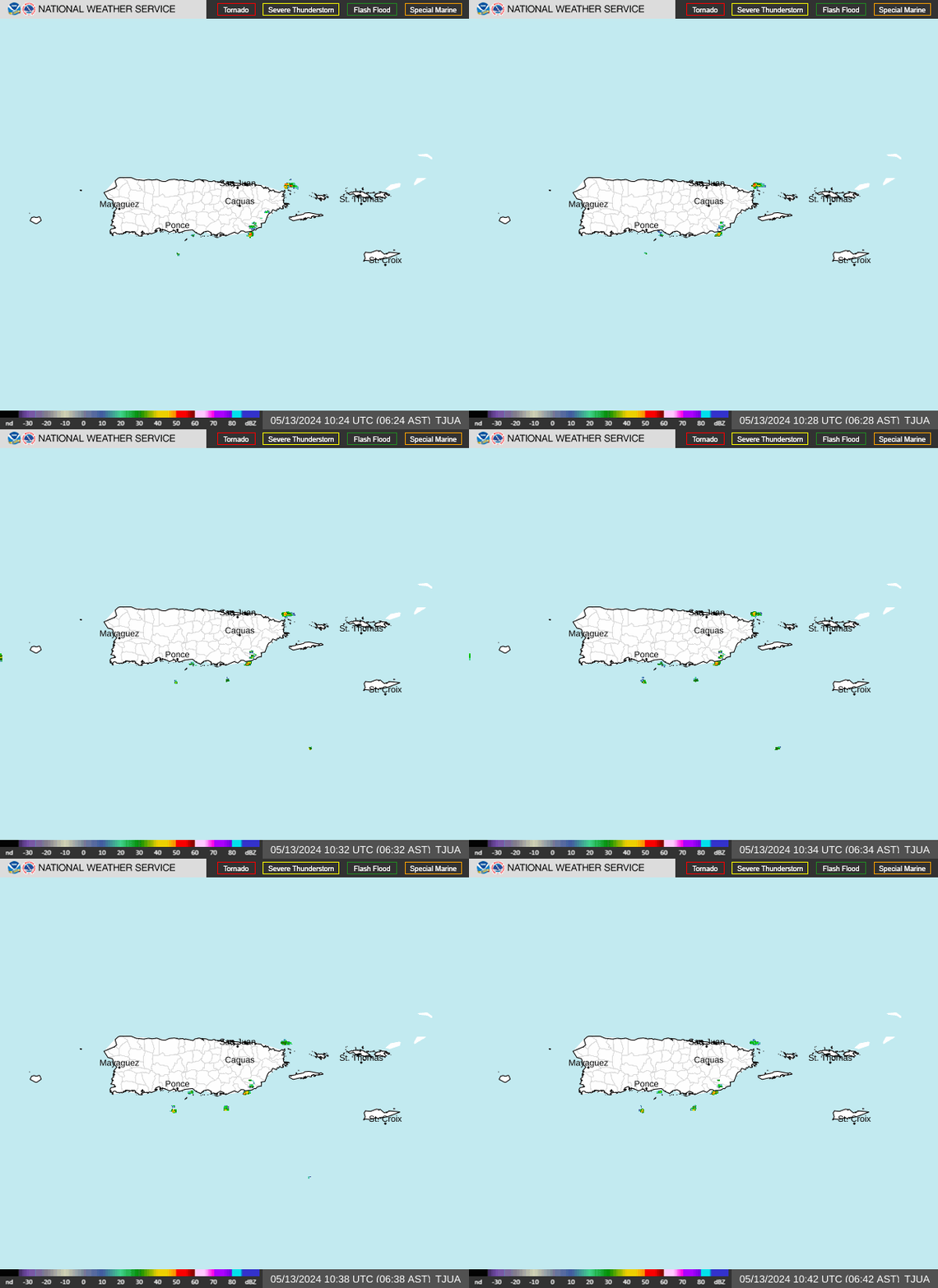
Official images load only when you tap them.
stj.fyi suggestion
Rain likely 7:00 PM–12:00 AM AST: plan indoor or sheltered time then
Up to 50% in the NWS hourly forecast, and 1 more window in the next 24 h.
stj.fyi suggestion
Very strong sun: shade and reef-safe sunscreen 10 AM–3 PM
UV index 9 today (U.S. EPA UV Index forecast for 2026-11-17).
Suggestions are rules of thumb from the data on this page, never more permissive than an official product. Official alerts above always come first.
Times are Atlantic Standard Time (AST). Values come from the stj.fyi cache of each source, refreshed on its own schedule; this page never calls an agency directly.Data status
NWS San Juan forecast for St. John
Live · Updated · Source: NOAA / National Weather Service
NWS hourly forecast (48 h)
Live · Updated · Source: NOAA / National Weather Service
Current conditions (Open-Meteo model)
Live · Updated · Source: Open-Meteo
7-day outlook (Open-Meteo model)
Live · Updated · Source: Open-Meteo
UV index forecast (EPA)
Live · Updated · Source: U.S. EPA / NOAA NWS
Heat and lightning (NWS forecast grid)
Live · Updated · Source: NOAA / National Weather Service
Modeled air quality and Saharan dust (Open-Meteo / CAMS)
Live · Updated · Source: Open-Meteo / CAMS Global