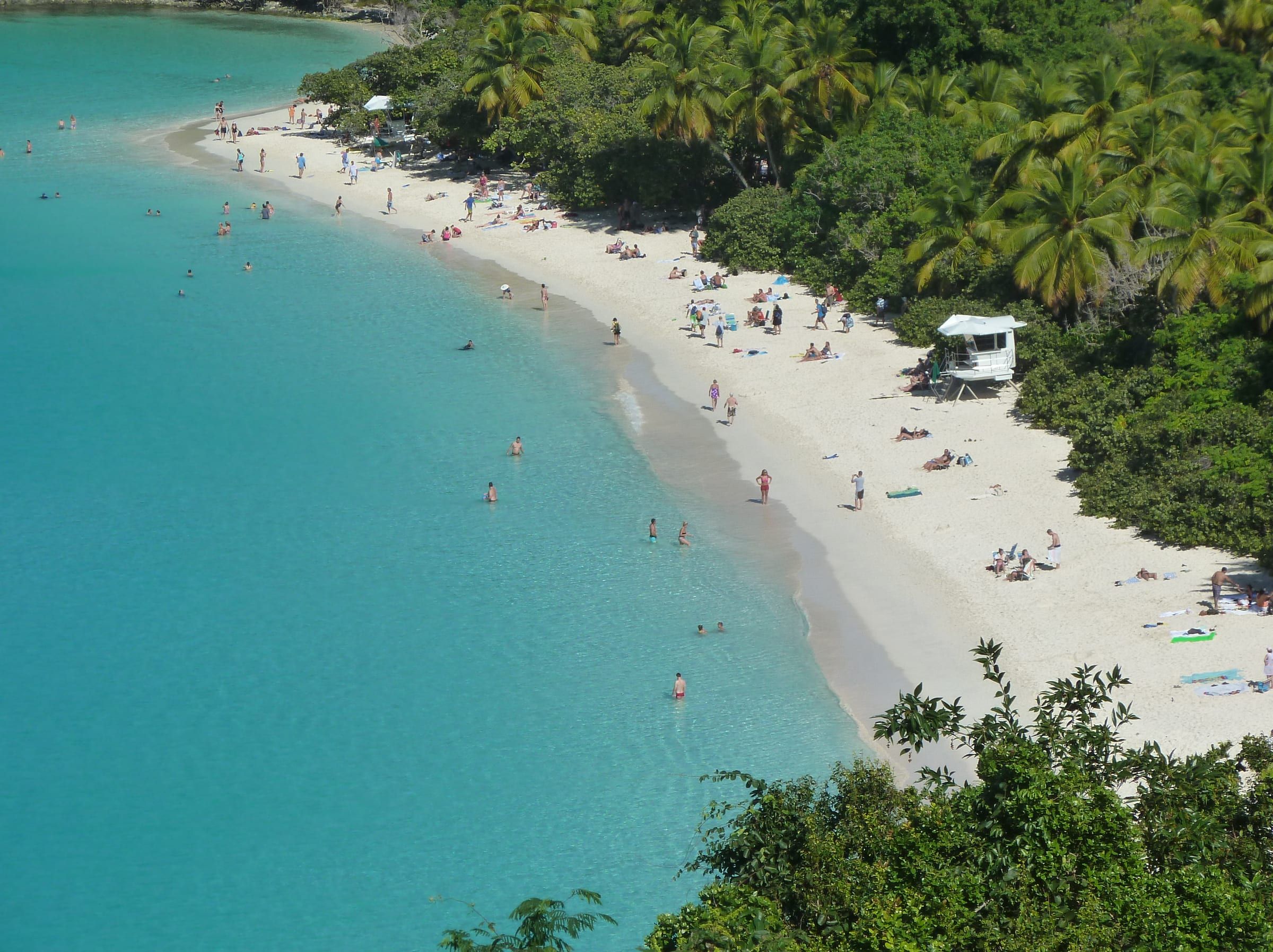
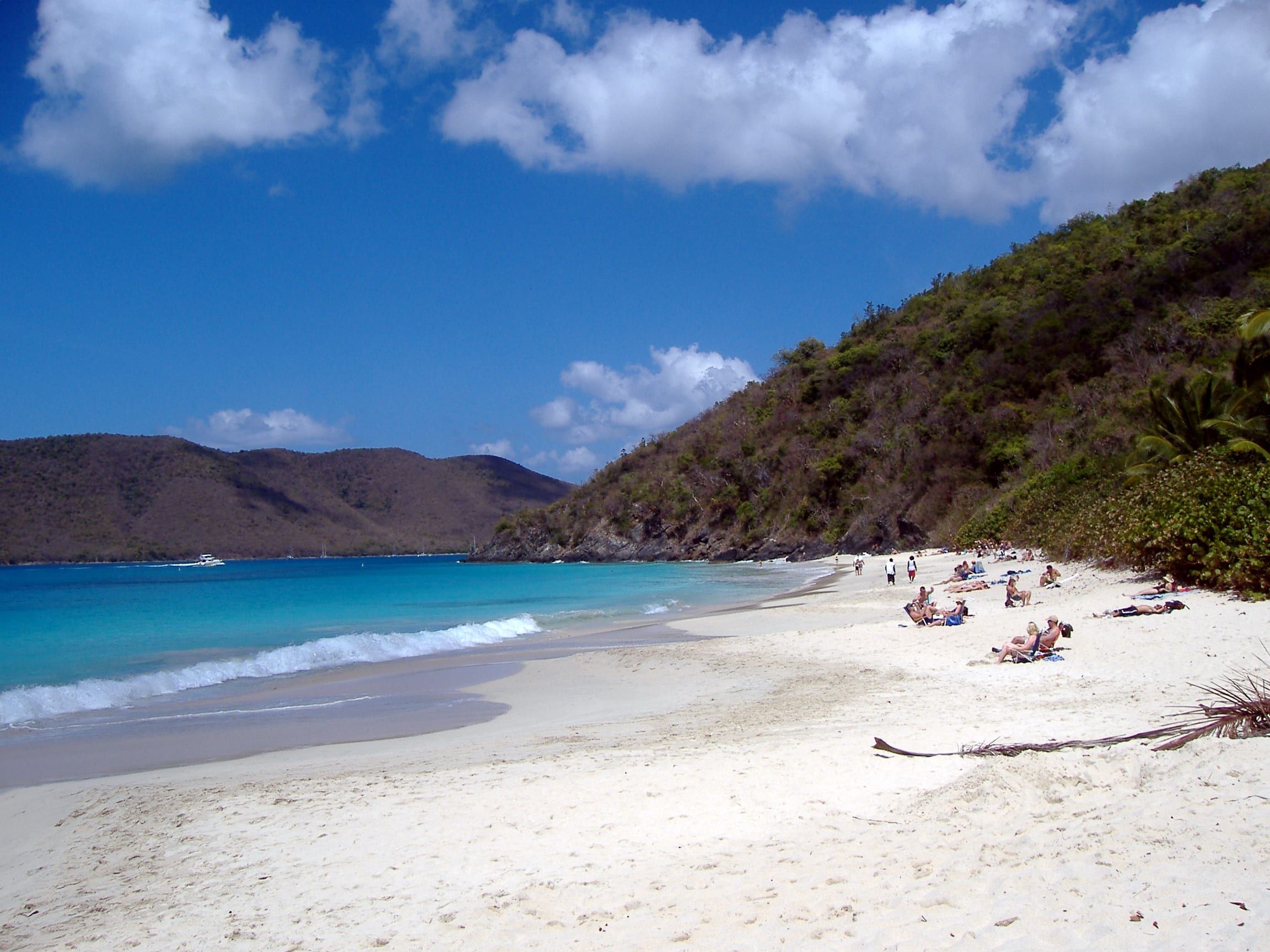
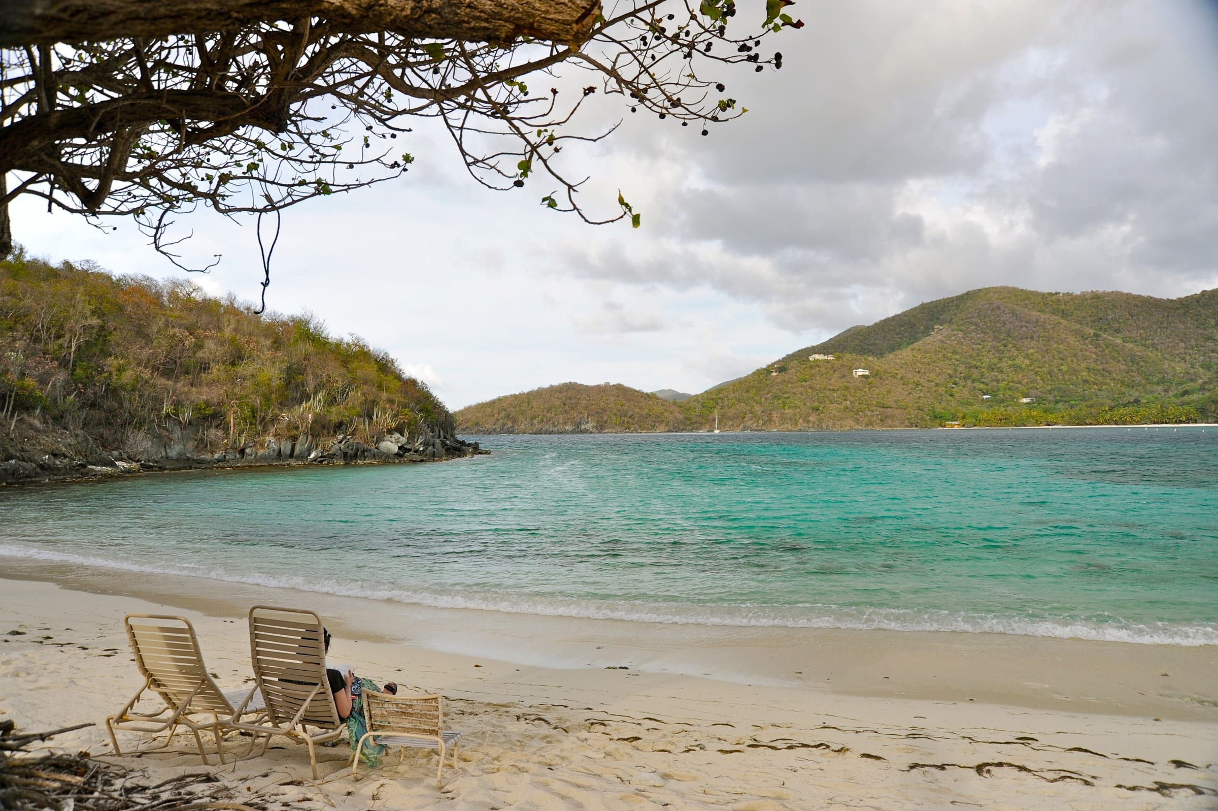
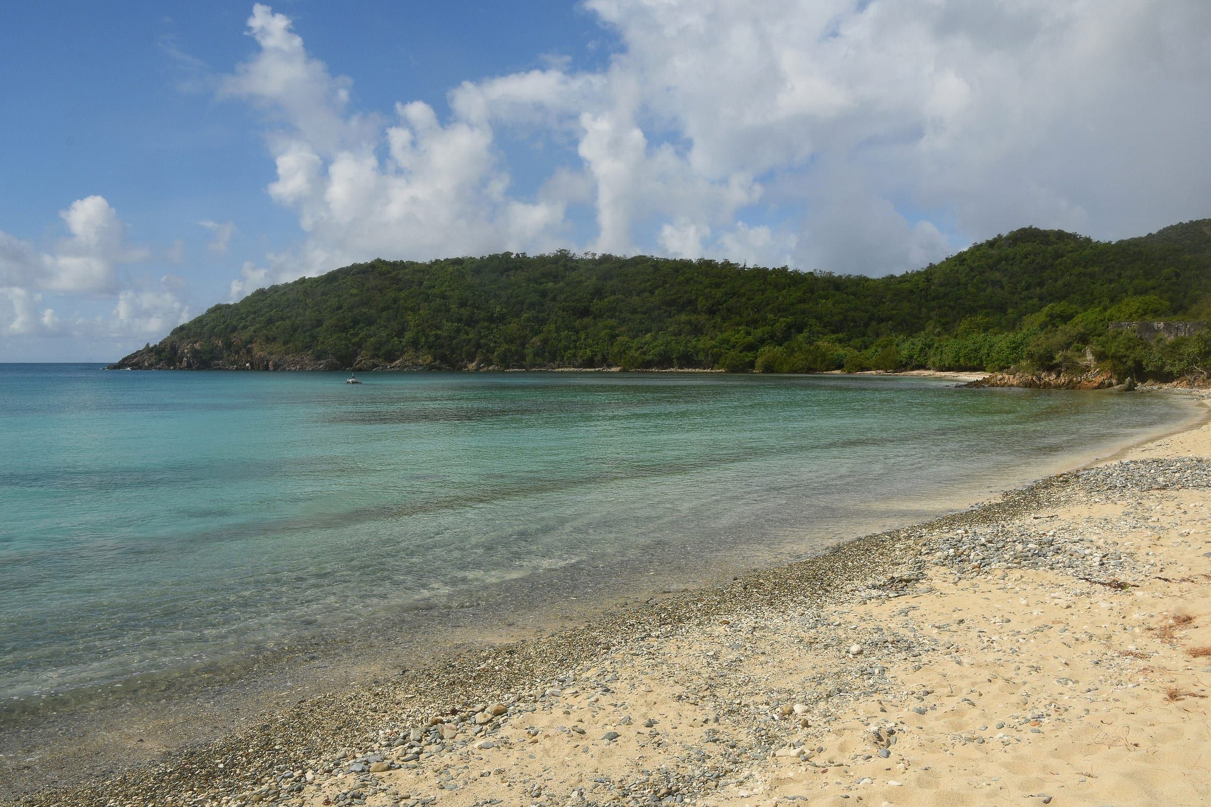
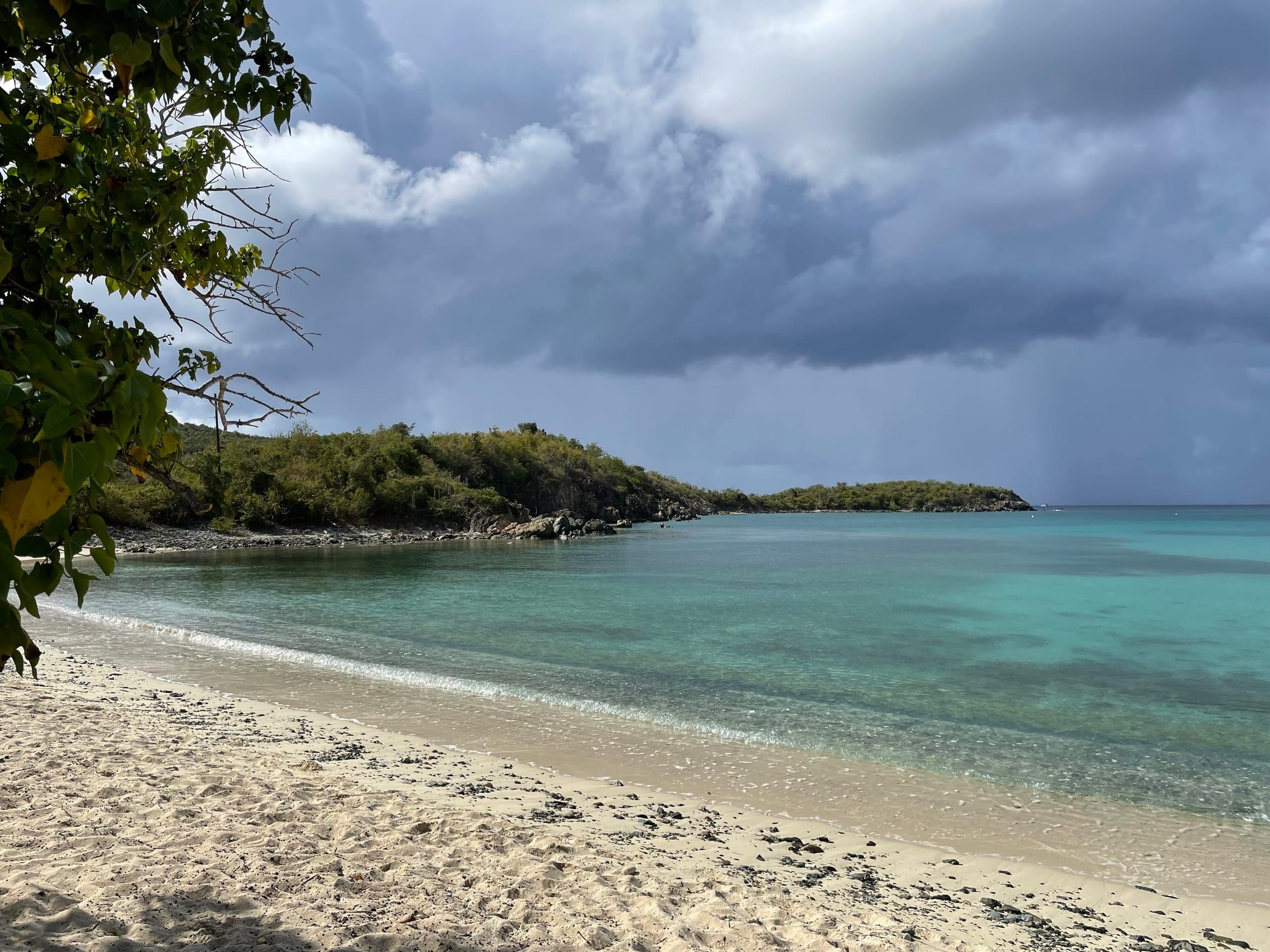
St. John is warm and steady all year. Average highs run from 84 °F in January to 90 °F in August and nights rarely drop below 73 °F, with an easterly trade wind most days. It does not rain every day: even in the wettest stretch, September to November, about 9 or 10 days a month get a tenth of an inch or more, and most of that falls as short showers. February and March are driest. The sea stays near 80 °F in late winter and 85 °F in early fall, so most people snorkel without a wetsuit. The things that really shape a beach day are the winter north swell, the midday sun and the official warnings, not the rain icon.
At a glance
- Warm all year
- Average highs 84 °F (January) to 90 °F (August)
- NOAA National Centers for Environmental Information · verified
- Rain days
- 4 to 10 a month; showers, rarely all-day rain
- NOAA National Centers for Environmental Information · verified
- Wettest month
- November, 6.06 in on about 10 days
- NOAA National Centers for Environmental Information · verified
Live conditions are on /now/alerts (official alerts).
Live conditions are on /now/weather (current weather).
Live conditions are on /now/sea (sea conditions).
Live conditions are on /now/weather (uv and sun times).
Climate at a glance
The figures below are 30-year averages from St. Thomas airport, about 8 miles west of Cruz Bay. It is the nearest station with official normals; no station on St. John has them.
Data table
| Month | High °F | Low °F | Sea °F | Rain in |
|---|---|---|---|---|
| January | 84.1 | 73.6 | 80.1 | 2.64 |
| February | 84.3 | 73.5 | 79.5 | 1.9 |
| March | 84.5 | 73.8 | 79.5 | 1.86 |
| April | 85.7 | 75.5 | 80.4 | 2.24 |
| May | 87.2 | 77.5 | 81.7 | 3.02 |
| June | 88.9 | 79.3 | 82.9 | 2.35 |
| July | 89.7 | 79.3 | 83.3 | 2.91 |
| August | 89.8 | 79.6 | 84.2 | 4.37 |
| September | 89.2 | 79.5 | 84.7 | 5.89 |
| October | 88.4 | 78.3 | 84.7 | 5.28 |
| November | 86.6 | 76.6 | 83.5 | 6.06 |
| December | 85.2 | 74.9 | 81.7 | 2.93 |
Source: NOAA National Centers for Environmental Information, 1991–2020 normals · Cyril E. King Airport, St. Thomas (VQW00011640), about 8 miles west of Cruz Bay. Sea: seatemperature.info, ten-year monthly averages for the sea off St. Thomas from a commercial site; not an official series
Winter (December to April) is the dry season: breezier, a little cooler at night (lows around 73–76 °F) and the most reliable sunshine. Summer (May to October) is hotter, more humid and less breezy, with lows near 79 °F. The park describes the same pattern: winter brings stronger winds and less rain, summer lighter winds and more rain.
Heat is the summer problem, not cold. The National Weather Service in San Juan issued several heat advisories for the territory in 2026; one on August 24 ran from 10 AM to 4 PM, when hot air and high humidity raise the risk of heat illness. We found no official monthly humidity table for the islands.
For the month-by-month trade-offs (crowds, prices, hurricane risk, sargassum), see the best time to visit.
Rain
The yearly normal is 41.45 inches, on about 80 days a year with a tenth of an inch or more. That is roughly one day in five.
- Driest: February (1.90 in on 4.7 days) and March (1.86 in on 4.2 days).
- Wettest: September (5.89 in), October (5.28 in) and November (6.06 in on 10.1 days). Many visitors assume the rain ends with hurricane season; November is in fact the wettest month.
Most of it comes as passing trade-wind showers that last minutes, often with sun before and after. A long soaking day usually means a tropical wave or storm is passing; the tropical outlook shows what the National Hurricane Center is watching.
In late spring and summer, tropical waves also carry dust from the Sahara. It turns the sky milky and can keep showers away for days; in August 2026 it arrived with hazier skies while the islands were still in a drought.
Tip
Don’t cancel a beach day for a 40 percent chance of showers; plan around it and keep a towel in the car. After a downpour, give the trails an hour: the park warns they “can be very slippery when it rains”.
The sea
The water is warm all year: about 79.5 °F in February and March and about 84.7 °F in September and October. NOAA’s satellite record for Virgin Islands waters, 2016 to 2025, gives the same figures within half a degree. Most people snorkel comfortably without a wetsuit; a rash guard or thin shorty helps on long winter snorkels.
| Month | Sea °F | North swell | Sargassum |
|---|---|---|---|
| Jan | 80.1 | Most likely | Usually low |
| Feb | 79.5 | Common | Usually low |
| Mar | 79.5 | Possible | Some |
| Apr | 80.4 | Possible | Some |
| May | 81.7 | Rare | Common |
| Jun | 82.9 | Rare | Peak |
| Jul | 83.3 | Rare | Peak |
| Aug | 84.2 | Rare | Common |
| Sep | 84.7 | Rare | Some |
| Oct | 84.7 | Possible | Some |
| Nov | 83.5 | Possible | Some |
| Dec | 81.7 | Most likely | Usually low |
All three columns are estimates. Sea: seatemperature.info, ten-year monthly averages for the sea off St. Thomas from a commercial site; not an official series. Swell and sargassum: our reading of the sources listed at the end of the page.
Right now the water is warmer than usual. The official gauge at Lameshur Bay on the south shore read 85.8 °F on November 18, 2026, about 2 °F above the November average. NOAA’s Coral Reef Watch has the islands at bleaching heat-stress Alert Level 4, so expect pale or white coral on some reefs. Bleached coral is alive but stressed: don’t touch it or stand on it.
North swell and sargassum seaweed change a beach more than the water temperature does. North swell is covered in the next section; sargassum has its own live page. For today’s water temperature, waves and tides, see sea conditions.
Wind and swell
The trade wind blows from the east most of the year. A former Cruz Bay station averaged about 9 mph from the east between 2012 and 2017; there is no official monthly wind table for St. John. It is stronger in winter and lighter in late summer, which is part of why August and September feel hotter.
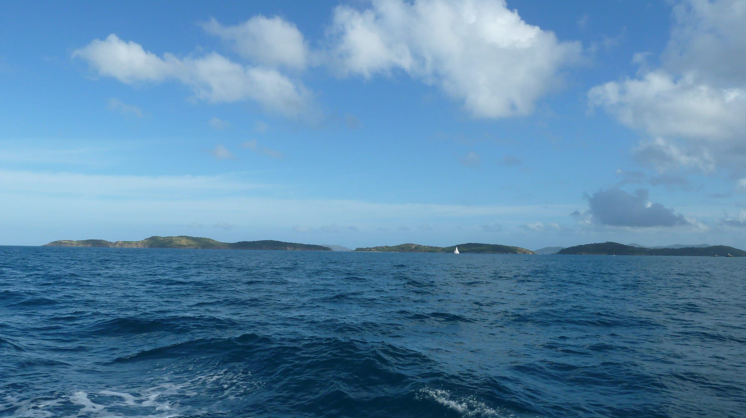
Christmas winds and north swell. From about November to April, cold fronts off the mainland swing the wind to the north and send long waves onto the north shore. The park warns they “can create large waves breaking on the north shore beaches”. Trunk, Cinnamon, Maho, Hawksnest and Denis Bay can then be rough and murky for days, even under blue sky, because the swell comes from storms far out in the Atlantic, not from the local wind. It can arrive early: in one November the north wind and swell came weeks before Christmas, and the local advice was to head to the south shore.
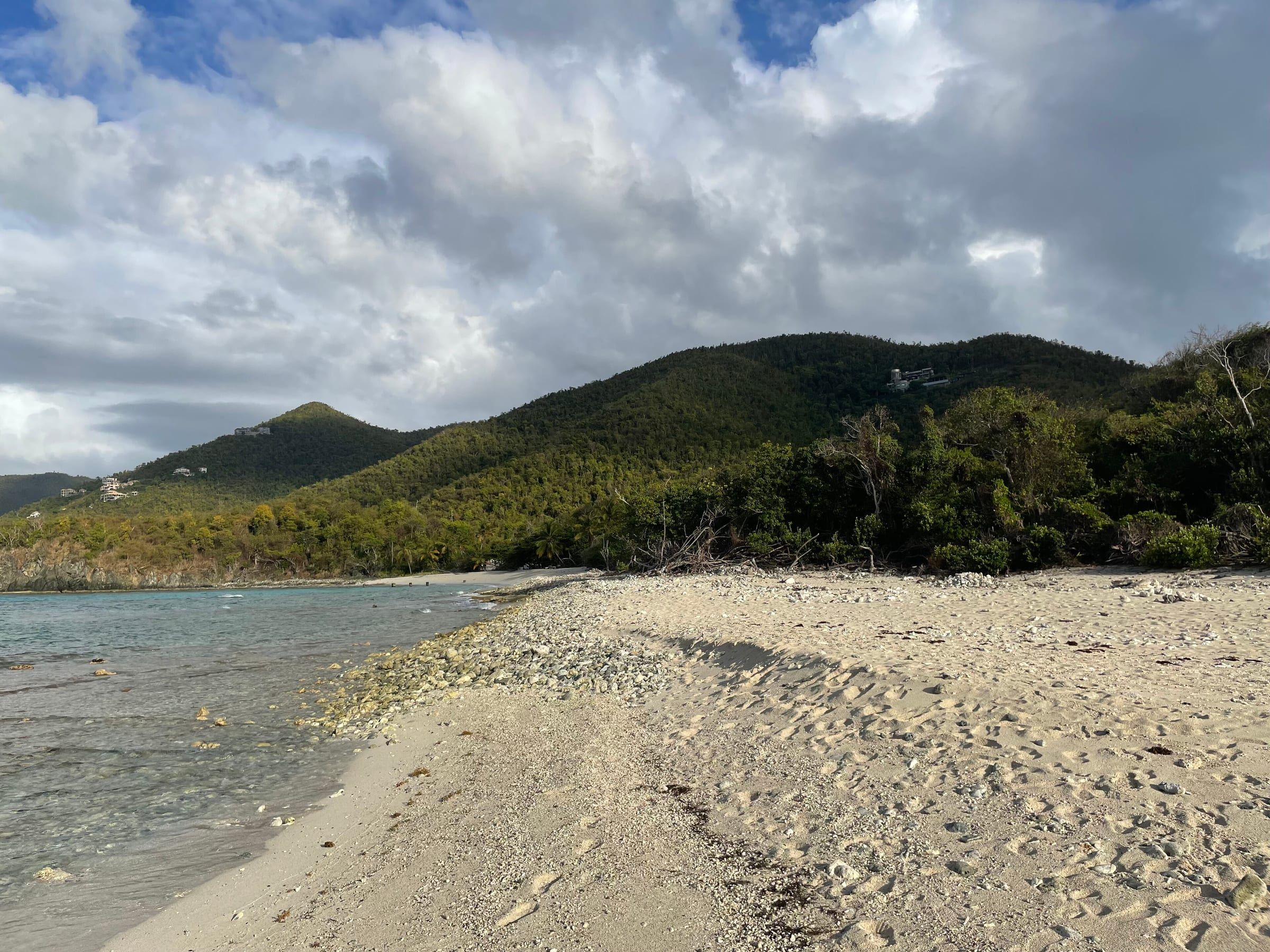
On those days the south and east sides are usually calm: Salt Pond, Little Lameshur and Hansen Bay. In summer the pattern flips. The north shore is usually flat, while the east-facing bays catch the trade-wind chop and, in some years, sargassum.
Tip
In the marine forecast, look at the swell period as well as the height. A north swell of 3 or 4 feet at 10 seconds or more breaks hard on the north-shore beaches even on a calm day.
Sun and UV
At 18° north the midday sun is strong all year. EPA’s UV forecast for Charlotte Amalie was 8 on November 18, 2026, close to the lowest sun of the year; in summer it runs higher. EPA calls 8 and above “very high to extreme”. It advises extra protection from late morning to mid-afternoon and shade whenever your shadow is shorter than you are. We found no official monthly UV table for the islands.
Days are 11 to 13¼ hours long and change little through the year.
| Month | Sunrise | Sunset | Daylight |
|---|---|---|---|
| Jan | 6:54 AM | 6:03 PM | 11 h 09 m |
| Feb | 6:47 AM | 6:20 PM | 11 h 33 m |
| Mar | 6:27 AM | 6:29 PM | 12 h 02 m |
| Apr | 6:02 AM | 6:36 PM | 12 h 34 m |
| May | 5:46 AM | 6:46 PM | 13 h 00 m |
| Jun | 5:43 AM | 6:57 PM | 13 h 14 m |
| Jul | 5:51 AM | 6:59 PM | 13 h 07 m |
| Aug | 6:01 AM | 6:46 PM | 12 h 45 m |
| Sep | 6:07 AM | 6:21 PM | 12 h 14 m |
| Oct | 6:13 AM | 5:57 PM | 11 h 44 m |
| Nov | 6:26 AM | 5:42 PM | 11 h 16 m |
| Dec | 6:43 AM | 5:46 PM | 11 h 02 m |
Calculated for 2026 with NOAA's solar equations; they agree with the U.S. Naval Observatory to the minute or within one. The islands stay on AST all year, with no daylight saving.
The islands stay on Atlantic Standard Time all year. From the US East Coast that means one hour ahead of home in winter and the same time in summer. Sunset comes early in winter, around 5:45 PM in December, so plan the last swim and the drive back before dark.
Tip
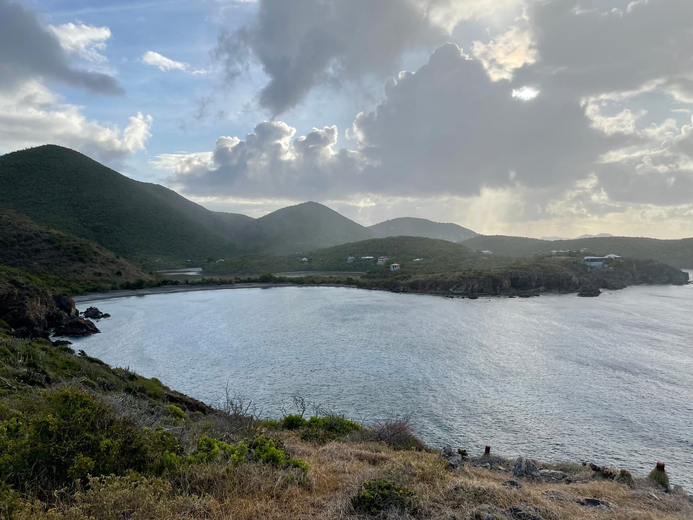
Hike before 10 AM, swim or rest in the shade through midday, and go back out after 3 PM. A rash guard and a hat do more than another coat of sunscreen, and less of it ends up on the reef.
Reading the forecast
A single weather icon is a poor plan for St. John. Ask where, when and for how long it will rain, and what the sea and the sun are doing at the same time.
- Chance of rain. The National Weather Service’s percentage is the chance of at least 0.01 inch at that point. A 40 percent chance is not rain for 40 percent of the day; on St. John it usually means a few passing showers.
- Rip currents and surf. The NWS Surf Zone Forecast for St. Thomas and St. John gives a daily rip-current risk (low, moderate or high) and the surf height. On November 18, 2026 it was moderate, with surf around 5 feet.
- Swell. The Coastal Waters Forecast covers the Atlantic waters north of the islands and the waters around St. John. Its “wave detail” line gives each swell’s direction, height and period, for example “north 3 feet at 9 seconds”.
- No buoy. The wave buoy south of St. John has been silent since July 2026; on November 18 it still had no data for the last 45 days. A site that shows it as current is wrong, and a missing reading never means a calm sea.
Official notice — National Weather Service San Juan
Watches, warnings and advisories for St. Thomas, St. John and the nearby islands (zone VIZ001) come from the National Weather Service. When one is in effect, follow it, and follow lifeguards, rangers and boat operators on the day. Their call outranks any forecast or suggestion on this site.
Island-wide forecasts are a starting point. A headland or a bay facing the other way can change the wind and the waves a lot, so check on arrival. stj.fyi keeps the official sources together with their times on current weather, sea conditions and alerts.