At a glance
- Walk from Cruz Bay
- Salomon about 1.4 mi and Honeymoon about 1.5 mi on the Lind Point Trail
- U.S. National Park Service · verified
- Drive from the ferry
- Trunk about 14 min, Cinnamon 18, Maho 21, Annaberg 26 (route estimate)
- FOSSGIS Valhalla server; road data © OpenStreetMap contributors (ODbL) · verified
- Winter swell
- Cold fronts can send large waves onto these beaches
- U.S. National Park Service · verified
Live conditions are on /now/sea (sea conditions).
Short answer
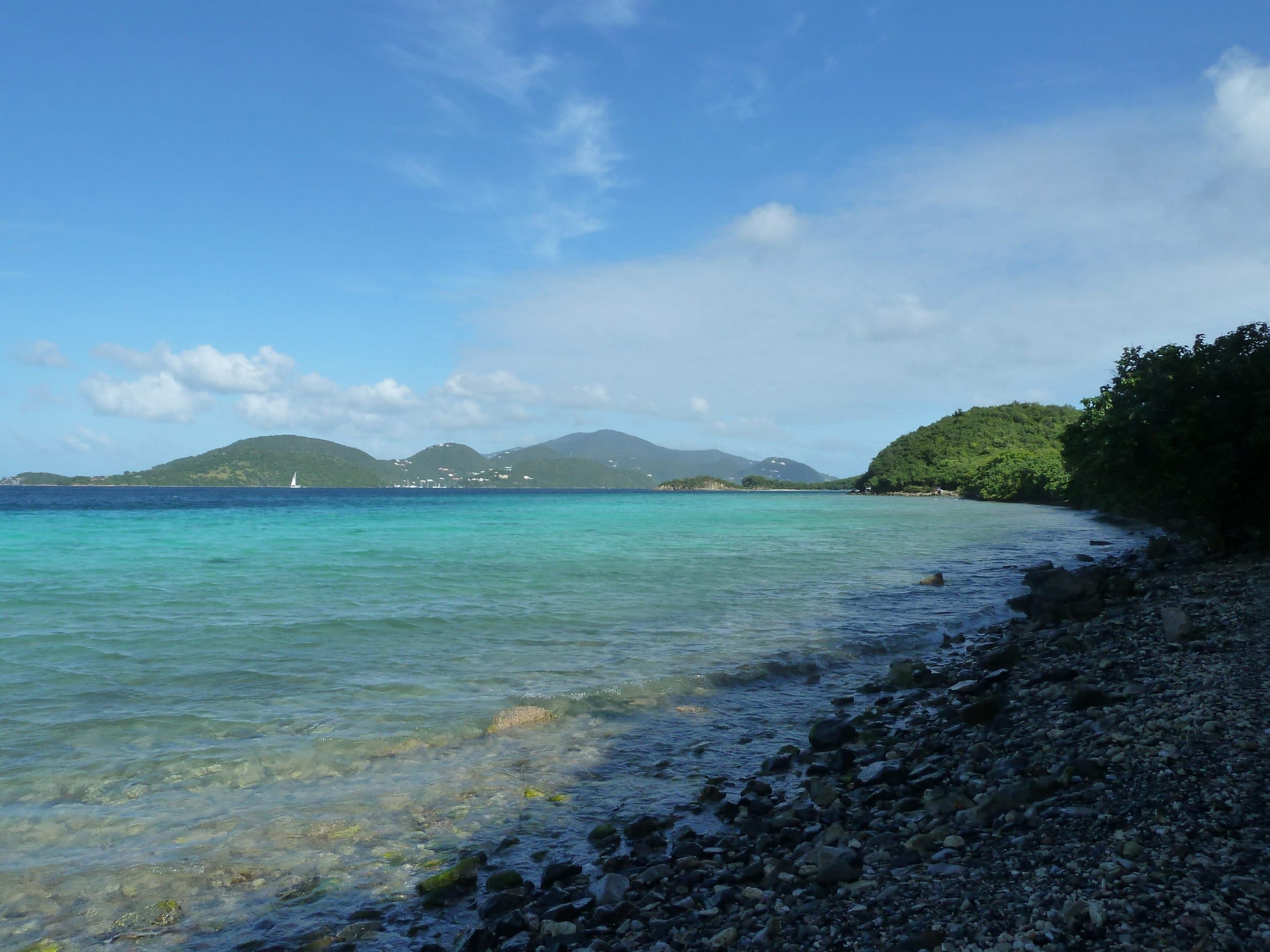
The North Shore is the string of national-park beaches along North Shore Road (Route 20), from the edge of Cruz Bay to Leinster Bay. Going west to east: Salomon and Honeymoon (walk-in from town), Caneel, Hawksnest and its small neighbors, Trunk, Cinnamon, Maho, Francis and Leinster Bay with Waterlemon Cay. Two of them are a hike from the ferry; the rest are a 10- to 30-minute drive or a safari-taxi ride. The shore is calm most of the year, but in winter a north swell can make it rough on a sunny day, so check the sea before you pick.
| Beach (west → east) | From Cruz Bay | Facilities | Best for |
|---|---|---|---|
| Salomon | 1.4 mi hike, or trail from Rt 20 | None | Quiet sand, no car needed |
| Honeymoon | 1.5 mi hike, or trail from Rt 20 | Concession listed, no restrooms | Shade, food, walk-in |
| Caneel Beach | Short drive, lot 7 a.m.–5 p.m. | Porta Johns | Calm swim close to town |
| Hawksnest | About 2 mi by road | Restrooms, changing rooms, grills | Shade, elkhorn coral, families |
| Gibney, Denis, Jumbie | Roadside pull-offs and paths | None | Small, quiet coves |
| Trunk Bay | About 14 min drive | Full set, rentals, $5 fee | The postcard view, snorkel trail |
| Cinnamon Bay | About 18 min drive | Restrooms, showers, food, rentals | Long walks, kayaks, camping |
| Maho Bay | About 21 min drive | Restrooms; food across the road | Turtles, shallow water, kids |
| Francis Bay | Past Maho, short dirt road | Picnic tables, no restroom listed | Calm long swims, the birding pond |
| Leinster Bay | About 26 min, then a flat walk | None at the beach (Annaberg has) | Waterlemon Cay, the best snorkel |
Drive times are route estimates from the ferry dock on OpenStreetMap roads, without traffic or parking. Beyond Leinster Bay the road turns inland toward Coral Bay.
Coordinates of Trunk Bay: 18.35261, -64.76830
- Google Maps
- Apple Maps
- Directions: Google · Apple
Map data © OpenStreetMap contributors (ODbL) · Park boundary: National Park Service
North Shore beaches on the map (distances from Trunk Bay)
Straight-line distances.
Walking to the beach from Cruz Bay
Yes, you can walk to two good beaches. The Lind Point Trail starts just behind the park visitor center, a few minutes’ walk north of the ferry dock, and ends at Salomon or Honeymoon. The park’s FAQ puts them at Salomon Beach (1.4 miles) and Honeymoon Beach (1.5 miles) from Cruz Bay; an older park brochure says 1.1 miles, and the trail page times the hike at 20–40 minutes without stops. Plan on about 1.5 miles and 30 to 60 minutes each way.
- The trail. Narrow and rocky, through dry forest and cactus scrub with little shade. A short spur climbs to an overlook bench above Cruz Bay. Wear closed shoes or sturdy sandals and carry water.
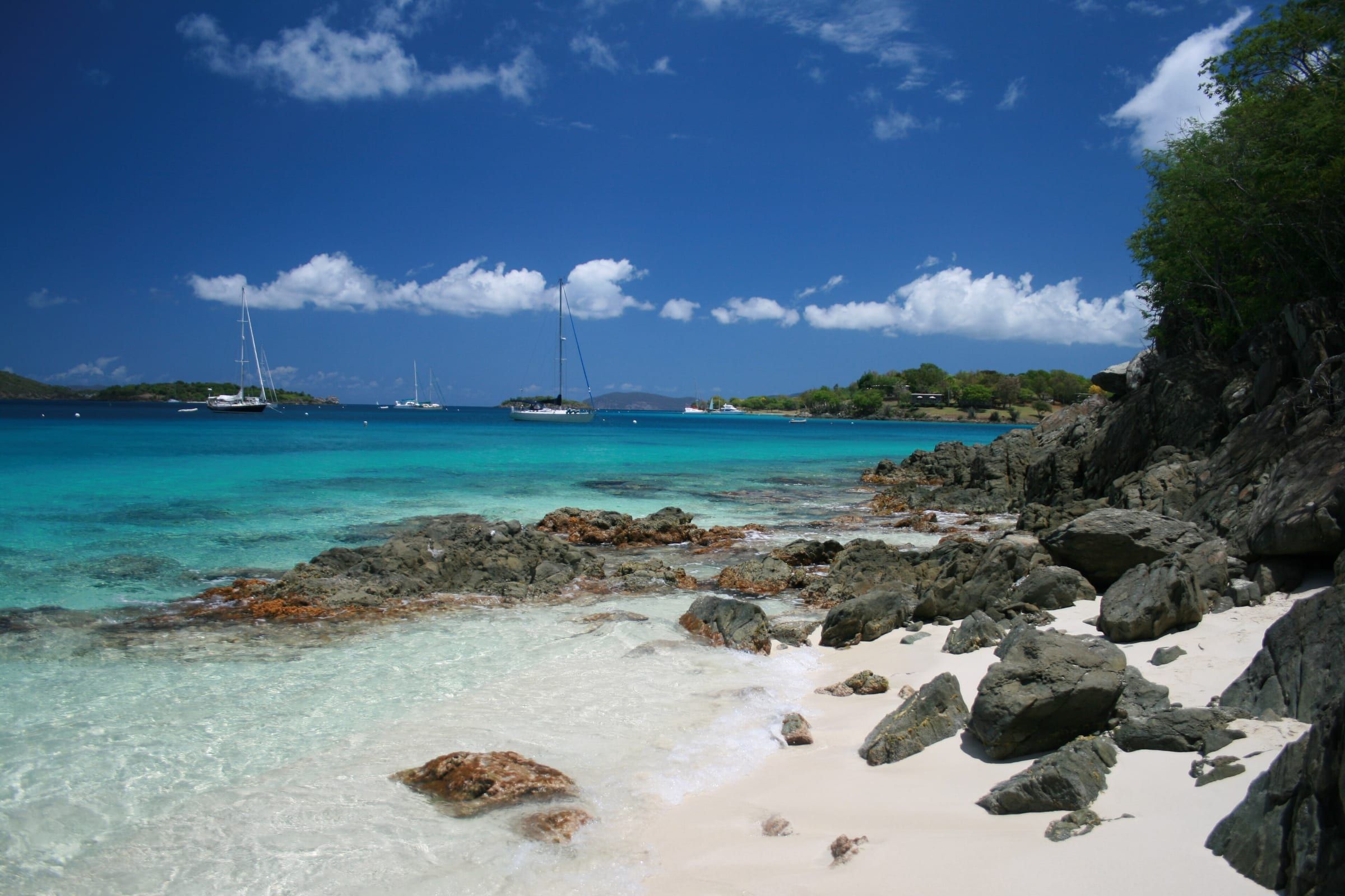
- Salomon comes first on the lower trail: soft sand, a fringing reef to the west and nothing else, so bring everything.
- Honeymoon is a short walk on along the shore. It has palm shade and a concession on the park’s amenity list, but the operator and any day-pass price were unconfirmed on November 21, 2026, and the park lists no restroom.
- Frank Bay, a short, flat walk west of the dock past Gallows Point, is the closest swim to the ferry: a narrow cobble beach with little shade, handy for a quick dip. Frank Bay has directions.
- Cruz Bay’s town beach by the dock is a busy harbor, a place to wait for the ferry, not to swim.
Driving to the trail? The trail page says to use one of the first two gravel parking lots on North Shore Road for the shorter way down to Honeymoon and Salomon. The park’s FAQ says hikers may also park at the visitor center, but its lot is tiny; from the ferry, just walk.
Farther beaches. Trunk, Cinnamon and Maho are too far to walk safely: North Shore Road is narrow, steep and has no sidewalk. The public bus does not run on North Shore Road, so take a safari taxi from the stand at the ferry dock.
| Safari taxi from Cruz Bay | Alone | Each, two or more |
|---|---|---|
| Caneel or Honeymoon | $8 | $6 |
| Gibney and Oppenheimer | $9 | $8 |
| Trunk Bay | $12 | $9 |
| Cinnamon Bay | $14 | $11 |
| Maho Bay | $17 | $12 |
| Annaberg and Leinster | $20 | $14 |
Fares are per person, cash, from a rental company’s October 2026 list of the Taxicab Commission tariff; there is no official rate card online. Most taxis stop the beach run by about 5 PM, so plan your ride back. Getting around has the details.
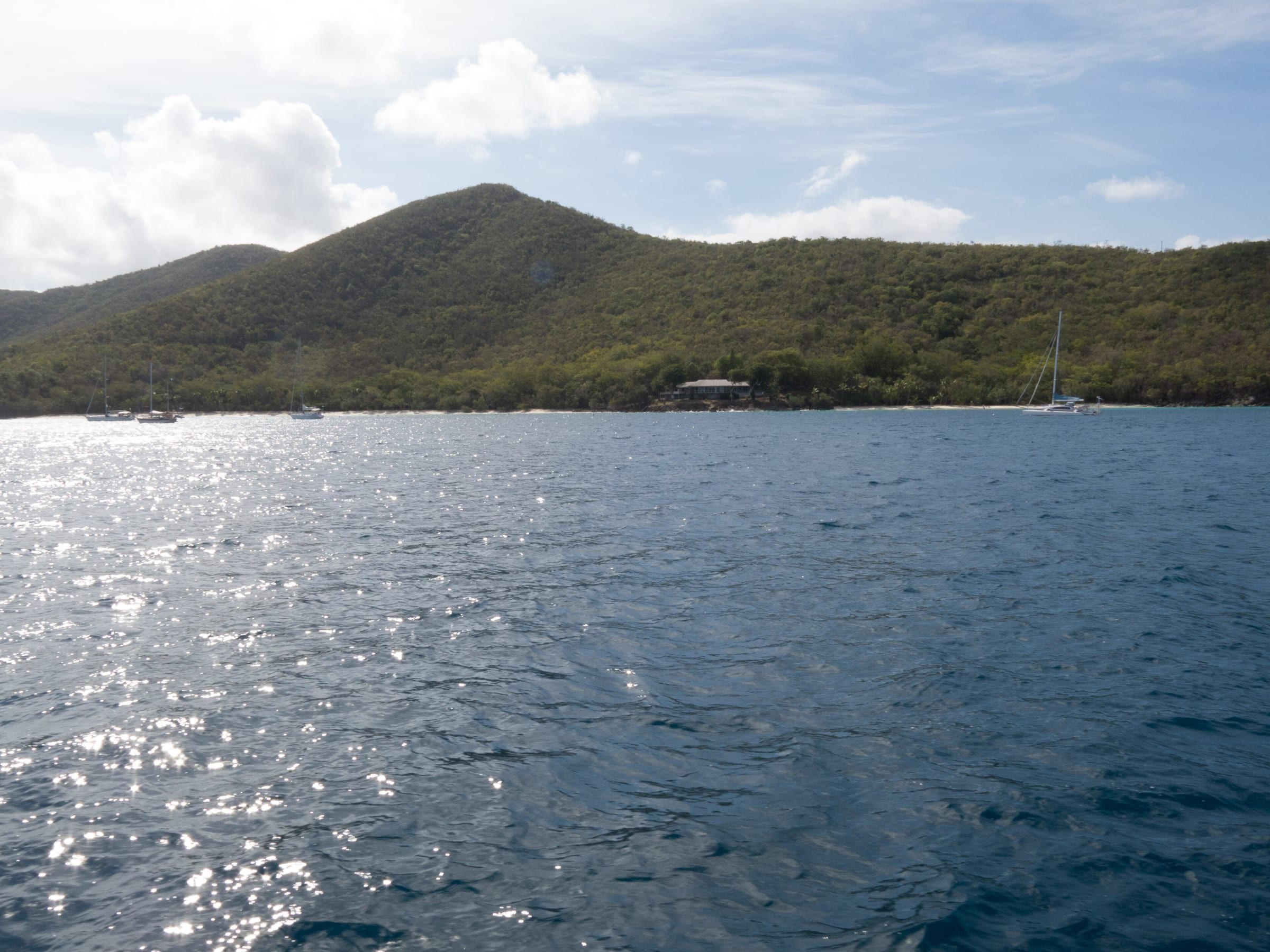
Caneel to Hawksnest
The first stretch of North Shore Road, about two miles out of town, has one beach with full facilities and several small coves.
Caneel Beach is the main beach of the former Caneel Bay Resort, open to the public by day. Park in the public lot at the Caneel Bay entrance and follow the paved path. The lot is open from 7 a.m. to 5 p.m. and is secured with a locked gate outside of those hours, and there are Porta Johns only. The rest of the old resort and the pier stay closed. The park’s page doesn’t mention a shuttle to Honeymoon or a path between the two beaches, so reach Honeymoon by the Lind Point Trail or by boat.
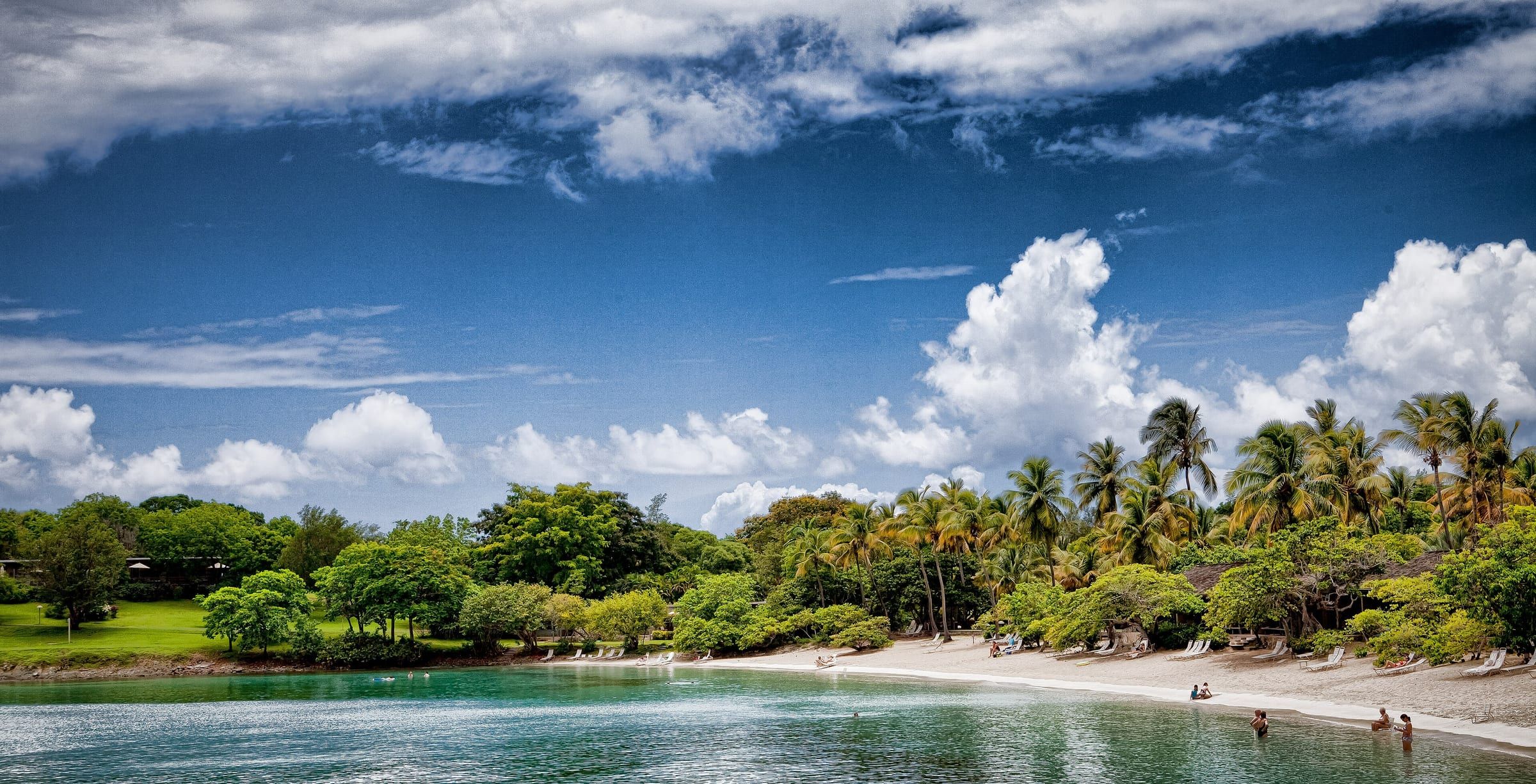
Hawksnest is the closest full-facility beach to Cruz Bay, with tall shade trees, restrooms, changing rooms, a picnic pavilion and grills. Three small elkhorn-coral reefs sit just offshore; snorkel around their edges, never over them. The park warns that parking is limited and often fills by mid-morning.
The small coves. Each is quiet, has no facilities and is worth a look early in the day:
- Little Hawksnest: a narrow strip of sand reached on a shoreline path from Hawksnest’s west end; it almost disappears at high tide.
- Gibney and Oppenheimer: a palm-shaded beach on the east side of Hawksnest Bay, through an iron gate with a few parking spots beside it. The land behind is private, and the Oppenheimer house is a community center, so follow any signs at the gate.
- Denis Bay: a white-sand beach below Peace Hill, down a narrow side path from the Peace Hill trail lot. It is unprotected in a north swell, and the land above the high-water line is private.
- Jumbie: a 100-yard pocket beach just west of Trunk, across the road from two tiny lots by the speed bumps. St John Beach Guide sums it up: if the north shore is rough, Jumbie is very rough.
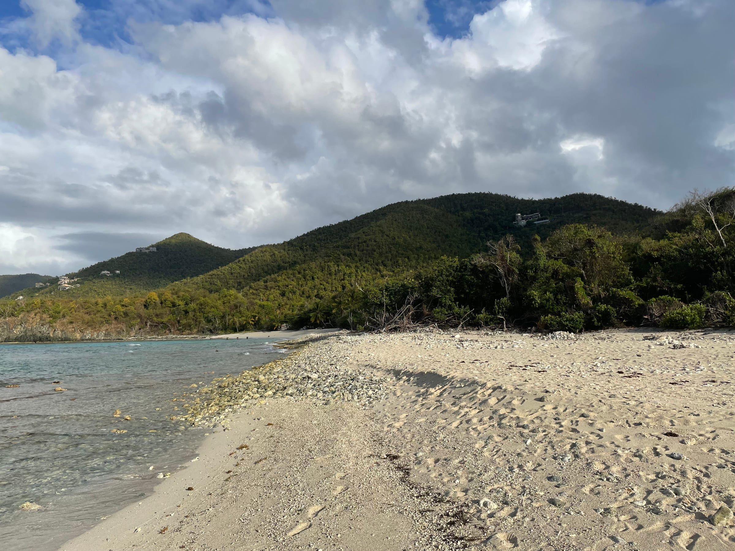
Trunk Bay and Cinnamon Bay
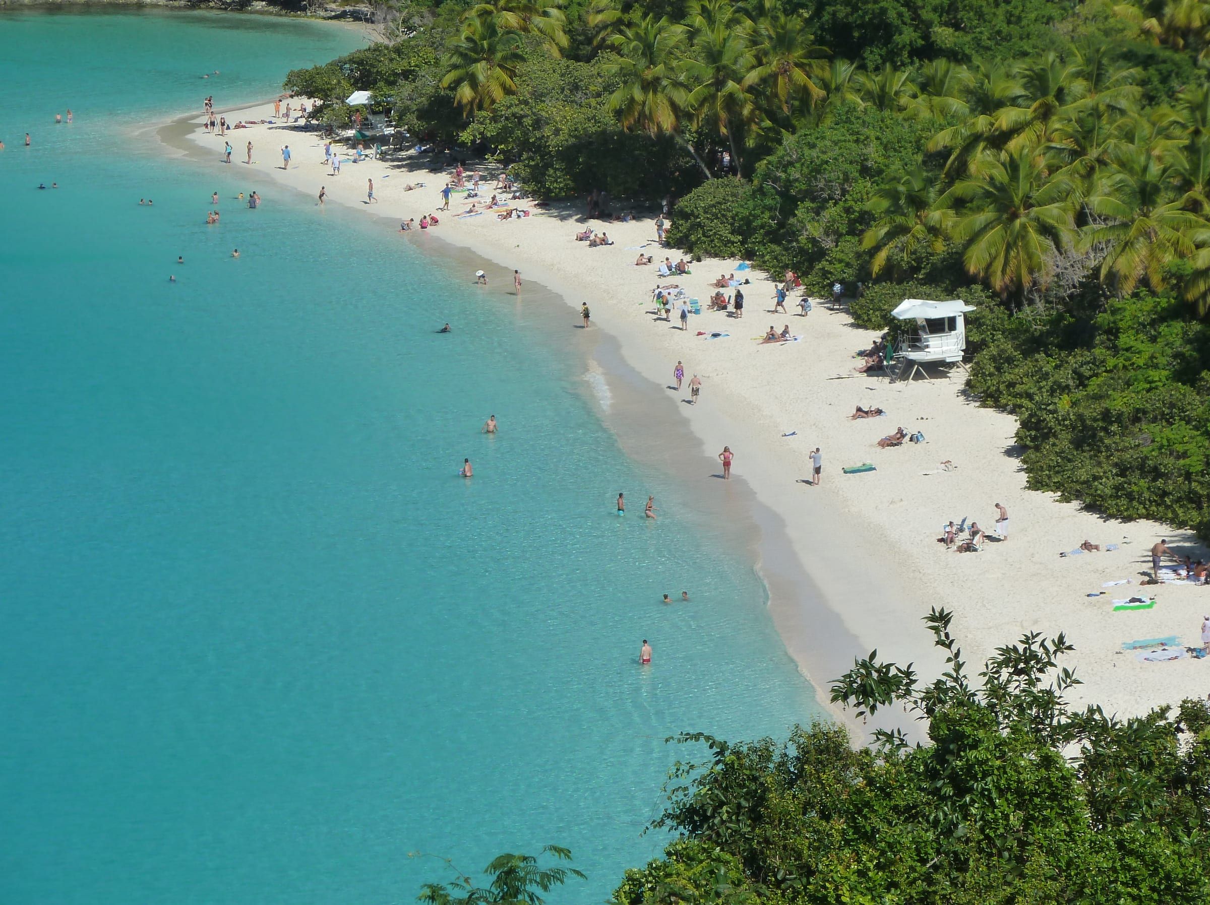
Trunk Bay is the famous one: a long white beach, the marked underwater snorkel trail around Trunk Cay and the island’s fullest facilities, with restrooms, showers, a snack bar, and snorkel-gear and chair rentals. It is the only park beach that charges: $5.00 per person ages 16 and up, paid by card or phone at the booth. Facilities run 8 a.m. to 4 p.m. and paths and beach ramps make it the most accessible beach on the island. It is also the busiest beach on the island. For the photo, stop at the overlook on North Shore Road just before the beach.
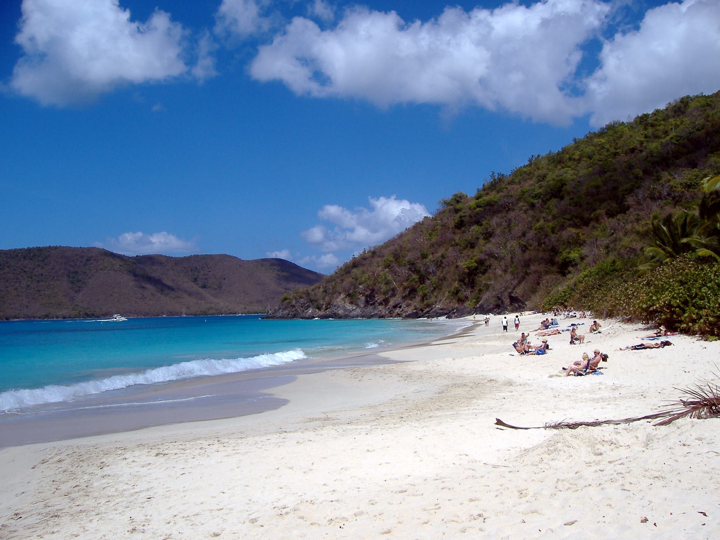
Cinnamon Bay is one of the longest beaches in the park, gently sloping and shaded, with the campground behind it. It has restrooms, showers, the Rain Tree Cafe and a food truck, and the island’s widest rentals: kayaks, paddleboards, snorkel gear and chairs. There’s no fee, and a rental company says its lot rarely fills. Paddle or swim out to Cinnamon Cay in the middle of the bay, and walk the short nature loop through the sugar-factory ruins across the road. Beach day tips lists rental prices and hours.
Tip
Do Trunk first thing or after 3 PM. Arrive when the facilities open at 8, and you get the snorkel trail and the lot before the tour taxis. Then move east to Cinnamon or Maho for lunch.
Maho Bay and Francis Bay
Maho Bay runs right along the road: flat, shallow and easy, with seagrass beds in the middle of the bay where green sea turtles feed, most often early morning or late afternoon. It’s the best beach on the island for small children and first snorkels. The park lists restrooms at the western end of the beach and a large parking area at the eastern end; the roadside strip goes first, and you must not park on the vegetation. Food, drinks and rentals are across the road at the private Maho Crossroads stand. See where to find turtles.
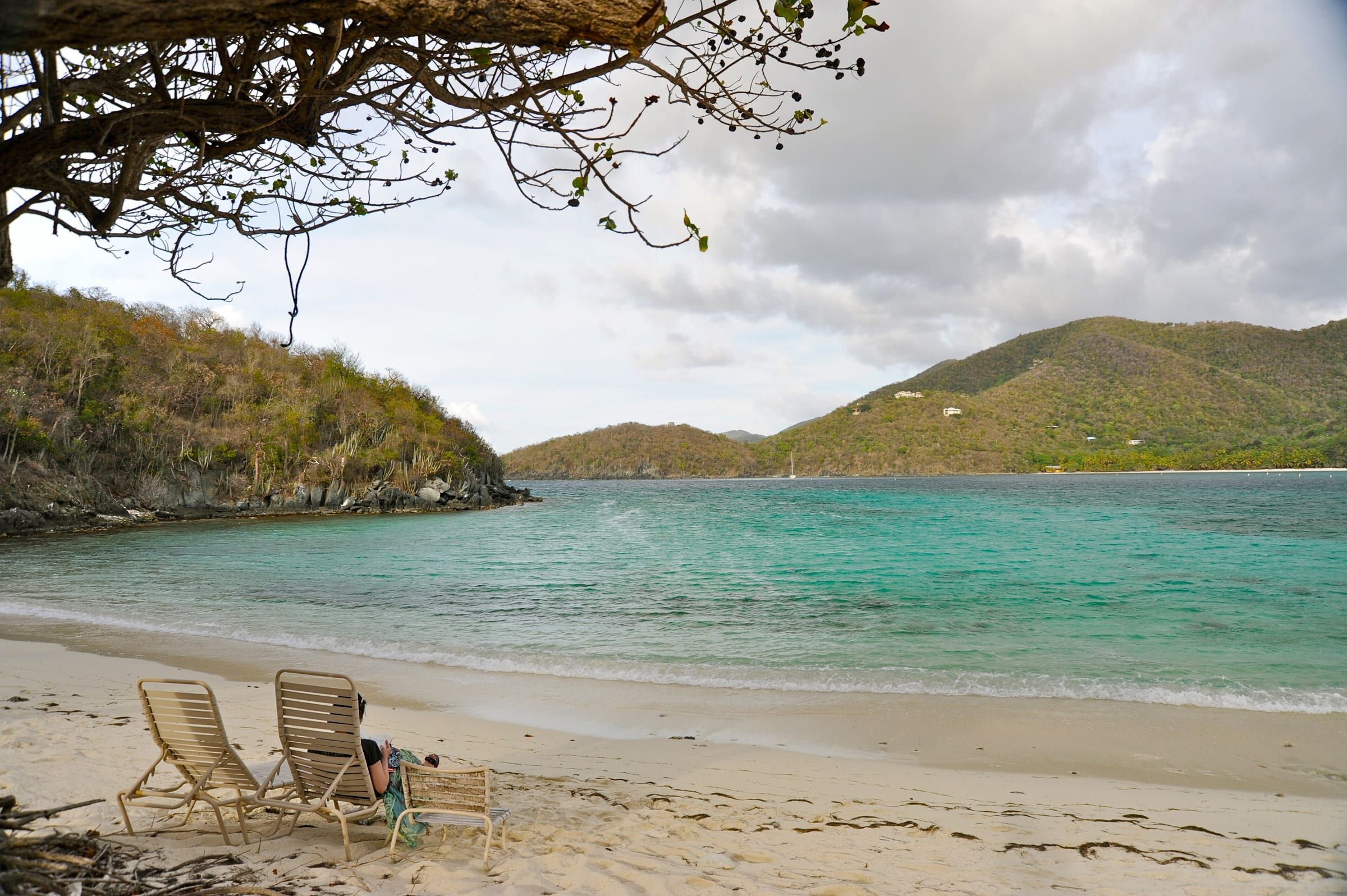
Francis Bay, just around the point, is one of the park’s quietest beaches: long, calm and good for swimming laps along the shore. Take the dirt road to the beach-end lot at the Francis Bay Trail; the lot by the ruins means a steep climb. A wheelchair-accessible boardwalk crosses to platforms over the salt pond behind the beach, good for birds. The park lists no restroom, so stop at Maho first. Snorkel the rocks toward Mary Point at the north end, and keep clear of the boats moored offshore.
Caution
No St. John beach has a lifeguard. On a north-swell day the surf can break hard on Maho, Trunk and Jumbie while the sky stays blue. If waves are breaking on the sand, swim somewhere else.
Leinster Bay and Waterlemon Cay
The last beach on the North Shore is a walk-in. Park at the Annaberg ruins lot, where the park lists restroom, picnic table, parking, then follow the flat shoreline trail east along Leinster Bay: about 10 minutes to the first entry point, with coral heads close to shore, and about 10 more to the main beach. There are no facilities at the beach.
From the main beach, strong swimmers snorkel over the seagrass or along the east shore to Waterlemon Cay, the best shore snorkel on St. John. The park warns that “A strong current runs on the Tortola (north) side of the cay”, so stay on the south side. The snorkeling guide explains how hard the swim is and the easy version.
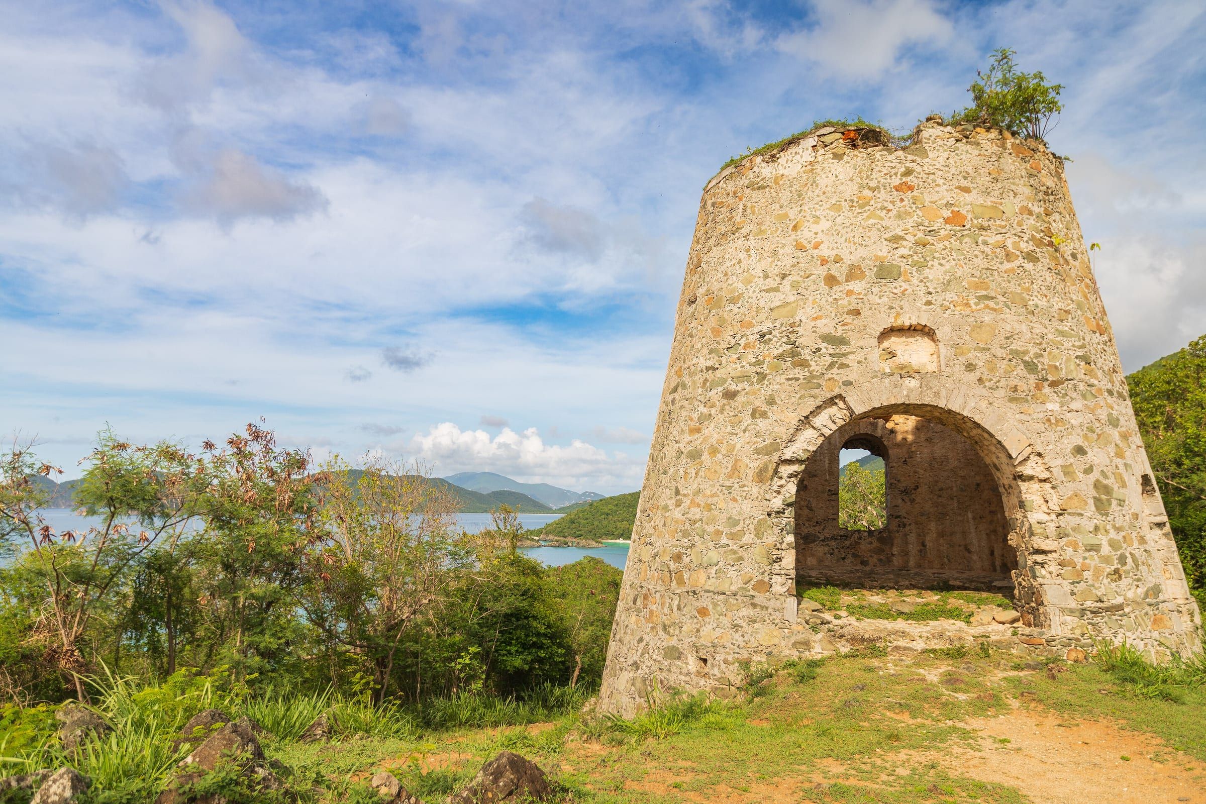
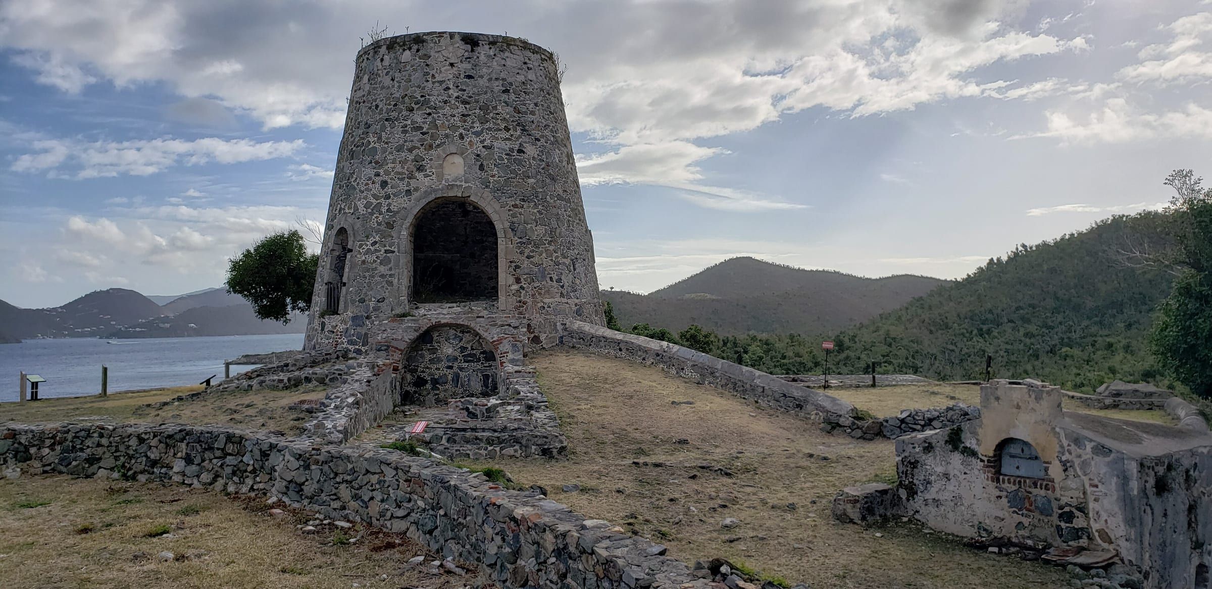
Combine it with the Annaberg ruins, which the park keeps as a sugar-plantation site with a windmill tower and the factory, and you have a half day.
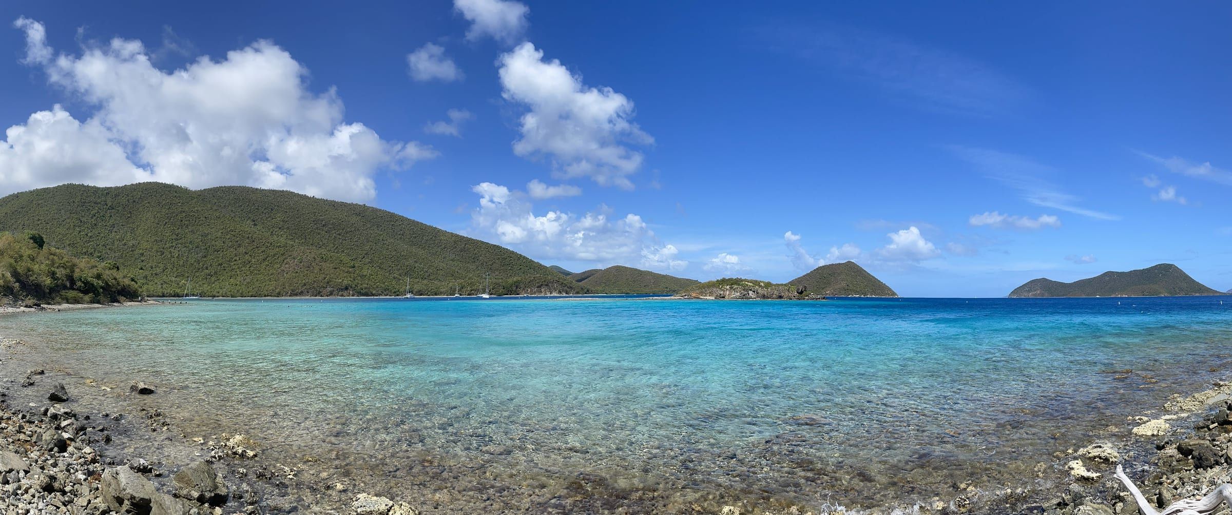
Parking and timing
Parking at the park beaches is free except Trunk’s fee, but every lot is small. A rental company reports that in high season Maho and Hawksnest are usually full between 9:30 and 10 AM, and Trunk’s lot can fill before 10. The park’s FAQ agrees that all beaches and trailheads have limited parking.
- Go early or late. Arrive before 9:30 AM or after about 3:30 PM, when the day crowd leaves.
- Park legally. Every tire and mirror off the pavement, never on the vegetation, never in an accessible space without a placard. Rangers ticket and tow.
- Don’t circle. If the Trunk, Maho and Hawksnest lots are full, drive on to Cinnamon or Francis, or swap the day: South Shore and East End beaches are 45 minutes away and empty when the North Shore is full.
- Mind the closing gate. The Caneel lot locks at 5 PM.
- Taxi instead. If you’re staying in Cruz Bay, a taxi to Trunk or Cinnamon saves the parking hunt; taxis also wait at Trunk, Cinnamon and Maho for the ride back.
Live conditions are on /now/sea (sea conditions).
Tip
Check the swell before you choose a beach. In winter, a cold front far to the north can send waves onto the North Shore for days; the sea conditions page shows the current swell, and the South Shore is usually calm when the north is breaking.