At a glance
- Drive from the ferry
- Salt Pond about 44 min, Lameshur about 46 min (route estimate)
- FOSSGIS Valhalla server; road data © OpenStreetMap contributors (ODbL) · verified
- Salt Pond walk
- Quarter mile from the lot, an old rocky dirt road
- U.S. National Park Service · verified
- Lameshur road
- Four-wheel drive recommended; many rental contracts prohibit it
- U.S. National Park Service · verified
- Facilities
- Vault toilets at Salt Pond; picnic tables at Little Lameshur; nothing else
- U.S. National Park Service · verified
- Gas
- None in Coral Bay or on the East End; fill up in the west
- The Virgin Islands Consortium (DLCA fuel price survey) · verified
- When to go
- When a winter north swell is breaking on the North Shore
- U.S. National Park Service · verified
Live conditions are on /now/sea (sea conditions).
Live conditions are on /now/sargassum (sargassum).
Short answer
The south and east sides of St. John are the quiet half: fewer people, rougher roads and almost no facilities. Salt Pond Bay is the easy one, a short walk from the road, with the Ram Head hike and Drunk Bay beyond it. Past the end of the pavement, the Lameshur bays have shade, turtles and snorkeling at Yawzi Point, but the road needs four-wheel drive. Europa and Reef Bay are hike-in. Out on the East End, the Haulover coves and Hansen Bay sit beside East End Road. These shores face south and east, so they’re usually the calm choice when a winter north swell is pounding the North Shore. Bring water, food, shade and a full tank.
| Beach | Getting there | Facilities | Best for |
|---|---|---|---|
| Salt Pond Bay | Rt 107, then a quarter-mile rocky walk | Vault toilets, picnic area | Turtles, rays, Ram Head |
| Drunk Bay | Quarter-mile trail from Salt Pond | None | Rock sculptures, wild shore; no swim |
| Grootpan Bay | Rough side road past Salt Pond | None | Solitude, sea fans |
| Great Lameshur | Lameshur road (4WD) | None | Rock-wall snorkel, Tektite Trail |
| Little Lameshur | Lameshur road (4WD), end of the road | Picnic tables, grills | Shade, turtles, Yawzi Point |
| Europa Bay | 15–20 min trail from Little Lameshur | None | Seclusion; usually rough water |
| Reef Bay | 3 mi trail down from Centerline Rd, or boat | None | A swim after the Reef Bay hike |
| Haulover South | Roadside on East End Road | None | Easy snorkel, kayak launch |
| Haulover North | Short path across the road | None | Coral close to shore |
| Hansen Bay | East End Road, private land behind | None | Soft sand, calm water, Pelican Rock |
Salt Pond is about 44 minutes from the Cruz Bay ferry dock by Centerline Road and Coral Bay, by our route estimate without traffic; the East End is about as far. There are no gas stations in Coral Bay or on the East End, so fill up before you leave the west of the island.
Coordinates of Salt Pond Bay: 18.30857, -64.70514
- Google Maps
- Apple Maps
- Directions: Google · Apple
Map data © OpenStreetMap contributors (ODbL) · Park boundary: National Park Service
South and East End beaches on the map (distances from Salt Pond Bay)
Straight-line distances.
Salt Pond Bay, Drunk Bay and Ram Head
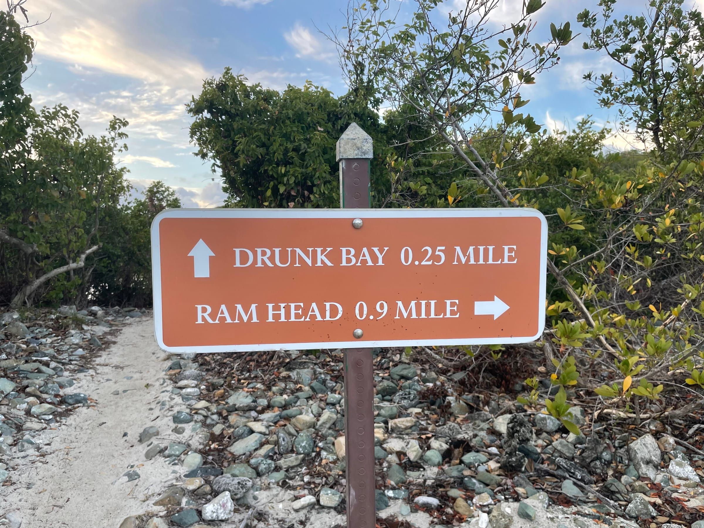
Salt Pond Bay is the South Shore beach most visitors see, and the easiest to reach. From Coral Bay take Route 107 south past Concordia; the small lot is on the left where the road bends sharply right. From there it is just a quarter mile hike from the parking area to beach on an old dirt road the park warns can be washed out at times. Wear real shoes for the walk.
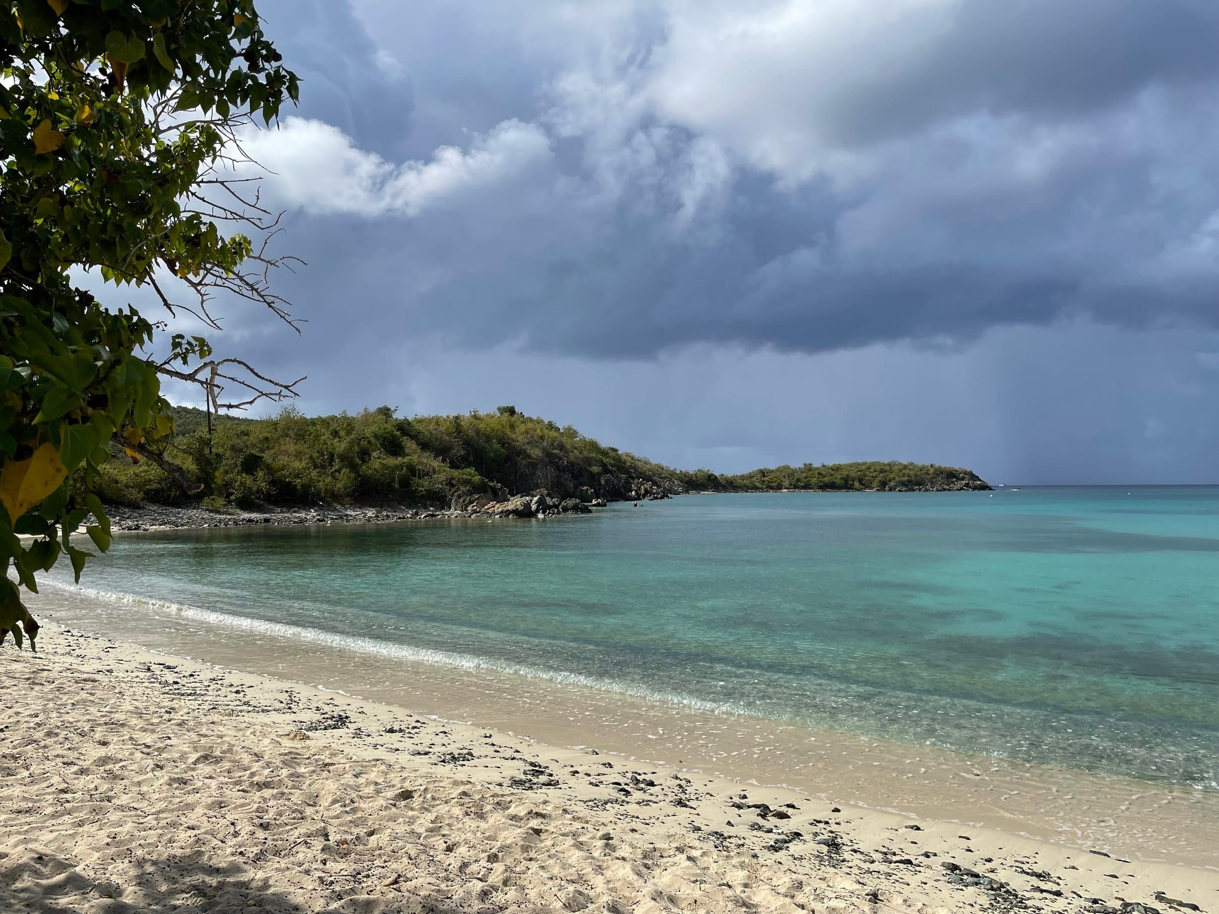
The beach is a long, gently shelving curve of white sand with vault toilets and picnic tables, and no food, water or rentals. The snorkeling is easy: green turtles and southern stingrays feed in the seagrass below the mooring field, so watch for dinghies. The public bus stops at the trailhead, but it has run a reduced St. John schedule since October 27, 2026; check before you count on it.
Ram Head. From the beach’s south end, the Ram Head trail is just under a mile long following a narrow path, past a blue cobble beach and up to the windswept headland about 200 feet above the sea; the park allows another 30-50 minutes from the beach to Ram Head. There’s almost no shade, so go early or late with plenty of water, and stay back from the cliff edge.
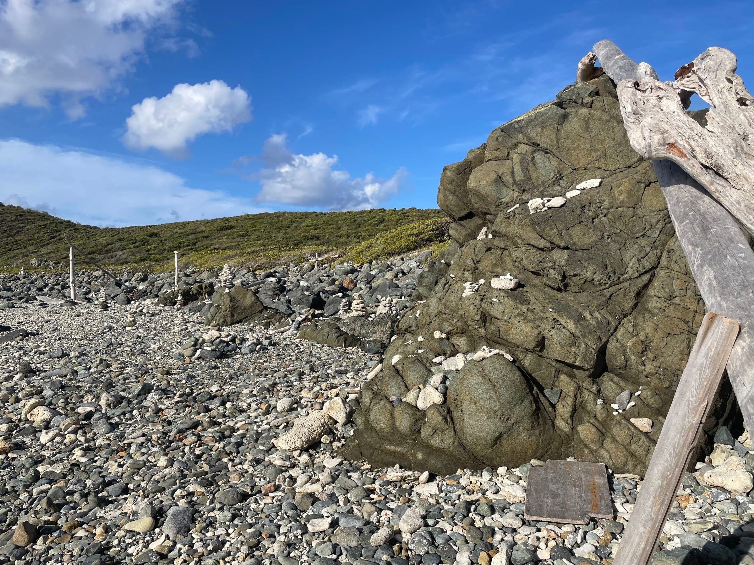
Drunk Bay is an easy quarter-mile walk from the east end of Salt Pond Beach. It faces straight into the trade winds: a rugged shore of coral rubble and stone, no sand to speak of, and the stone sculptures and cairns visitors build. Come for the view, not a swim.
Caution
No St. John beach has a lifeguard, and Salt Pond Bay had a visitor drowning in June 2026. Snorkel with a buddy, wear a snorkel vest if you’re not a strong swimmer, and don’t swim alone on these remote beaches. Cell signal is patchy on the South Shore.
The Lameshur bays
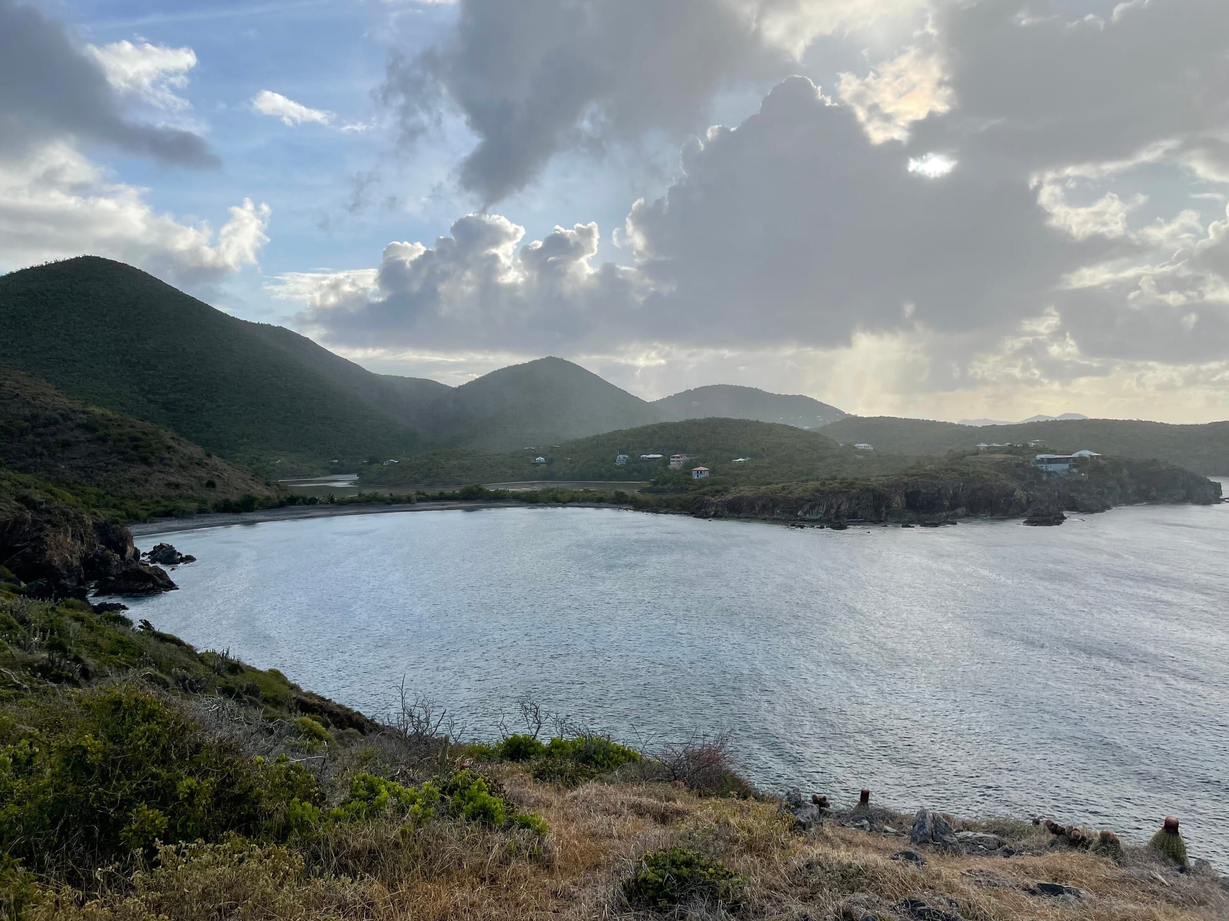
Past Salt Pond, Route 107 runs on to the end of the pavement, and the last stretch to the Lameshur bays is a rocky dirt road. The park recommends four-wheel drive and warns that “many car rentals prohibit driving on this road”. Read your contract before you go; no current road notice exists, so judge it on the day and turn back after heavy rain.
- Great Lameshur Bay comes first, just over a mile in: a long crescent of stones and pebbles with few visitors. Experienced snorkelers swim the rock wall along its east shore. The Tektite Trail starts at the road’s first switchback and climbs 0.7 mile onto Cabritte Horn Point.
- Little Lameshur Bay, at the end of the road, is the one to aim for: soft white sand, shade, picnic tables and grills, with turtles in the seagrass. The park lists no restroom or water.
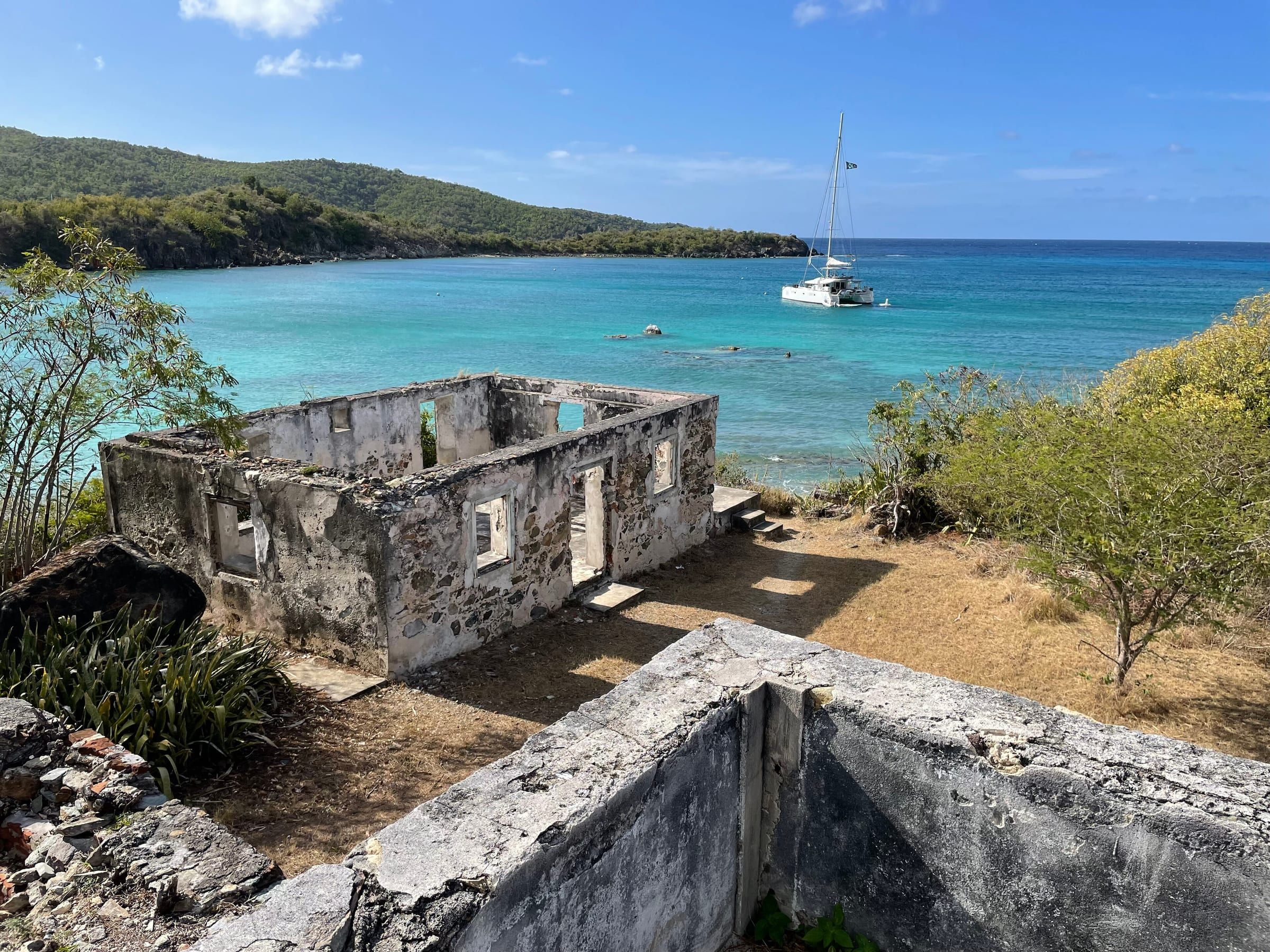
- Yawzi Point, between the two bays, is the snorkel: the park says both bays are good “especially at the tip of Yawzi point”. The easy Yawzi Point Trail, 0.3 mile past Danish-era ruins, leads to small rocky coves for quiet entries.
Hike-in and hidden coves
The rest of the south side is for people who like walking to their beach. Bring water, food and everything else: none of these have facilities.
- Europa Bay: one of the most secluded bays on the island, 15 to 20 minutes on the Lameshur Bay Trail from Little Lameshur’s west end. The beach is coral cobble with a salt pond behind it, and St John Beach Guide warns the waves are usually intimidating. Snorkel only on a calm day.
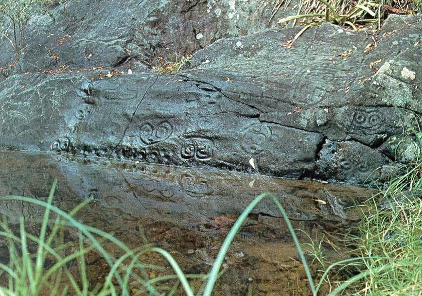
- Reef Bay: the beach at the bottom of the Reef Bay Trail, about three miles down from Centerline Road past the sugar-estate ruins and the petroglyph side trail. The climb back is 900 feet; the beach is a swim and a rest, not a destination by itself.
- Grootpan Bay: just past Salt Pond, down a poorly maintained side road (stay left twice). Sand turns to stones offshore, and an older local guide reports coral heads, sea fans and conch in 5 to 25 feet.
- Friis Bay, south of Coral Bay: sand and seagrass lined by private property, so realistically reached from the water.
- Hart Bay (Rendezvous Bay), near Cruz Bay: a narrow strip of sand through a villa neighborhood; public land access is unconfirmed.
The East End: Haulover and Hansen Bay
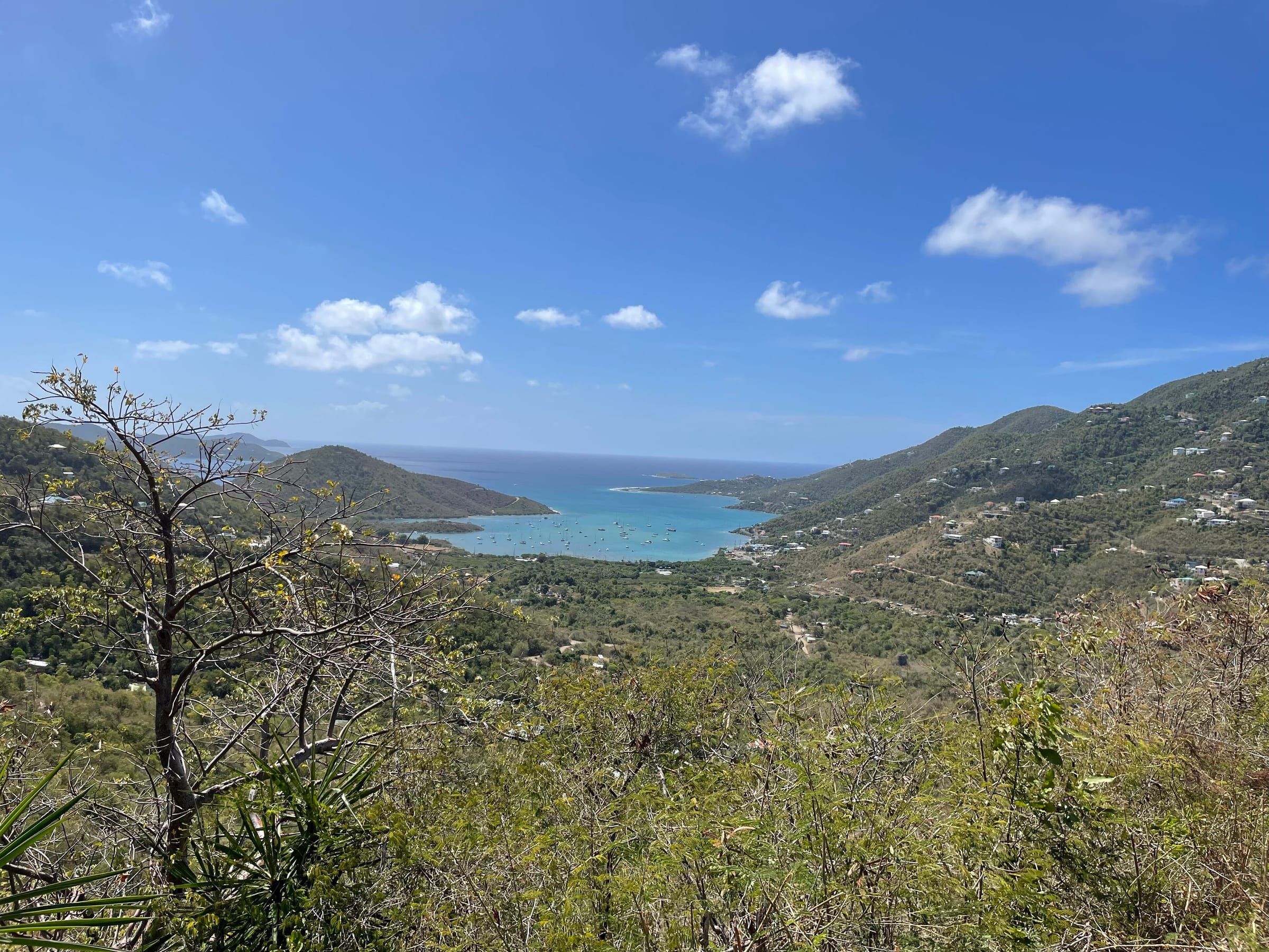
Past Coral Bay, East End Road follows the shore to the island’s narrow eastern tip, about as far from Cruz Bay as Salt Pond. The beaches here are small, sit right by the road, and have no facilities at all.
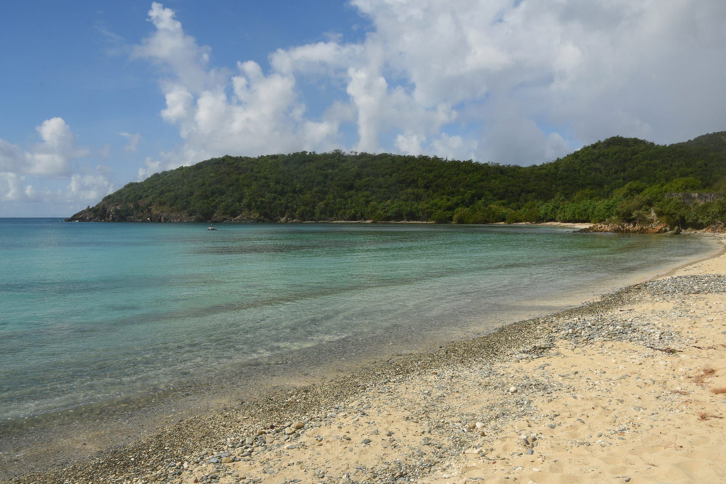
- Haulover Bay South is the easy one: a small, protected sand-and-pebble cove with shade trees, visible from the road, where you park on the roadside and walk across. Snorkel both edges; the east side is better. It’s a common kayak launch.
- Haulover Bay North is across the narrow neck of land, a short path from the road: a pebble beach with some of the island’s best reef snorkeling on its west side in 5 to 20 feet. It is exposed to north and east wind, so go early or on a south-wind day.
- Hansen Bay, farther on, is a soft-sand beach sheltered from wind and big waves, with seagrass and patch reefs; strong snorkelers continue toward Pelican Rock. The land behind it is private. The old snack shack closed in 2016, and any parking or access charge was unconfirmed in November 2026, so check locally.
- Limetree Cove, between Haulover and Hansen, is surrounded by posted private land: reach it by kayak, paddleboard or a long snorkel from Hansen.
East-facing bays catch the most sargassum when it’s running, usually in spring and summer; Friis Bay was hit hard in June 2026. Check the sargassum outlook before you make the drive.
Live conditions are on /now/sargassum (sargassum).
When to choose the south side
The two shores rarely misbehave on the same day, which is why locals keep both in mind.
- North swell, mostly November to April. Cold fronts far north can send large waves breaking on the north shore beaches. Salt Pond, the Lameshurs and Hansen Bay are usually calm when Maho and Trunk are rough.
- Strong southeast trades or a south swell. The reverse: the South Shore and the windward East End get choppy, and the North Shore is the better bet.
- Crowds. When the North Shore lots are full by mid-morning, the south side is still quiet.
- Sargassum. It drifts in on the trade winds, so the east-facing bays get it first and worst.
Live conditions are on /now/sea (sea conditions).
Tip
Make it a day trip: Salt Pond in the morning, before the heat on Ram Head, lunch in Coral Bay, then an afternoon snorkel at Haulover South or Hansen Bay. Fill up with gas and buy water before you leave the west side, and be back on Centerline Road before dark.